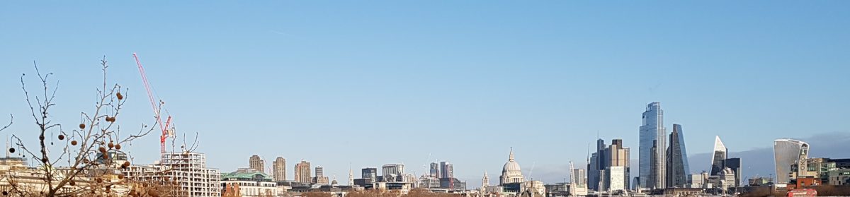
Last week I went on a local walk, bearing in mind that I would have to allow myself enough energy to walk back., us still being in Lockdown. My aim was to find the source of Beverley Brook. Two or three years ago I walked this brook in the other direction (it took two walks) from New Malden where you can see the book adjacent to Dreams and Currys on Burlington Road (the entrance to the car park, left, hidden behind a corrugated fence) and then it runs under the road, along the backs of houses in Beverley Road. It passes behind an industrial estate before crossing the A3 where it skirts Wimbledon Common before running through the edge of Richmond Park, across Barnes Common (where there is a nice old graveyard) and finally out into the River Thames at Putney. A leaflet for this walk can be found at https://www.merton.gov.uk/assets/Documents/beverly-brook-walk.pdf
The walk in the other direction is not so well documented. Articles quote Cuddington Park in Worcester Park as being the source, but I have not found a map of the walk, save Paul Talling’s website where he lists some places where Beverley Brook can be seen, and he offers some photos. So, armed with a photo of the relevant parts from an A-Z map (primitive, but that’s me), I set off.
Motspur Park & West Barnes Lane meet here 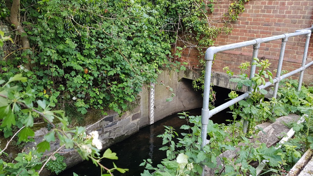
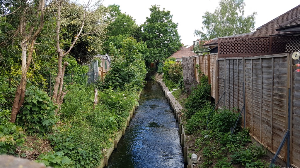
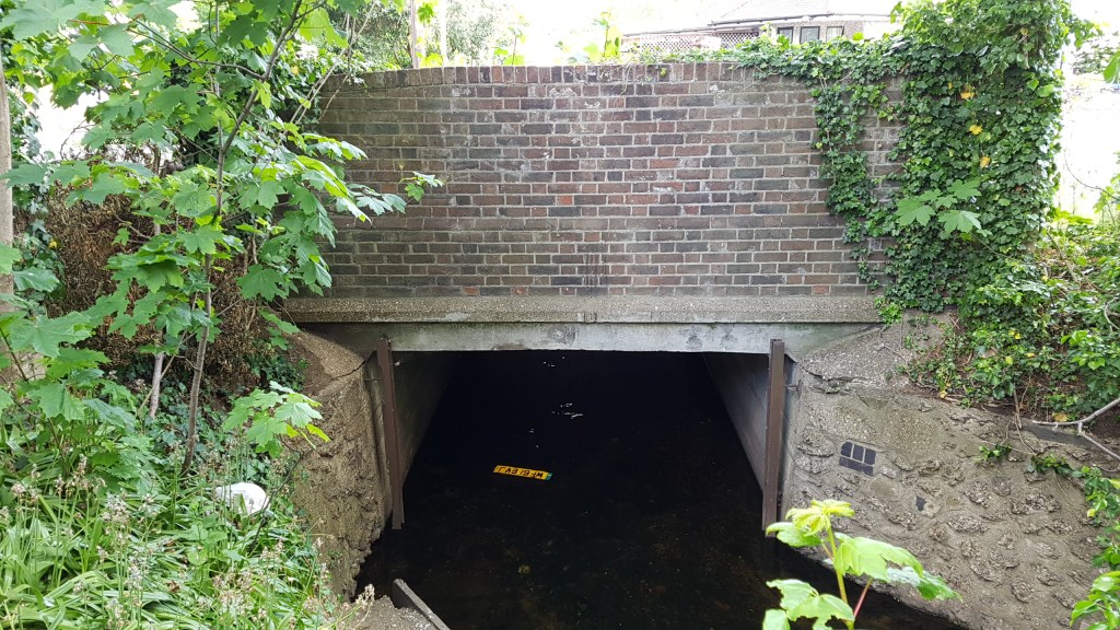
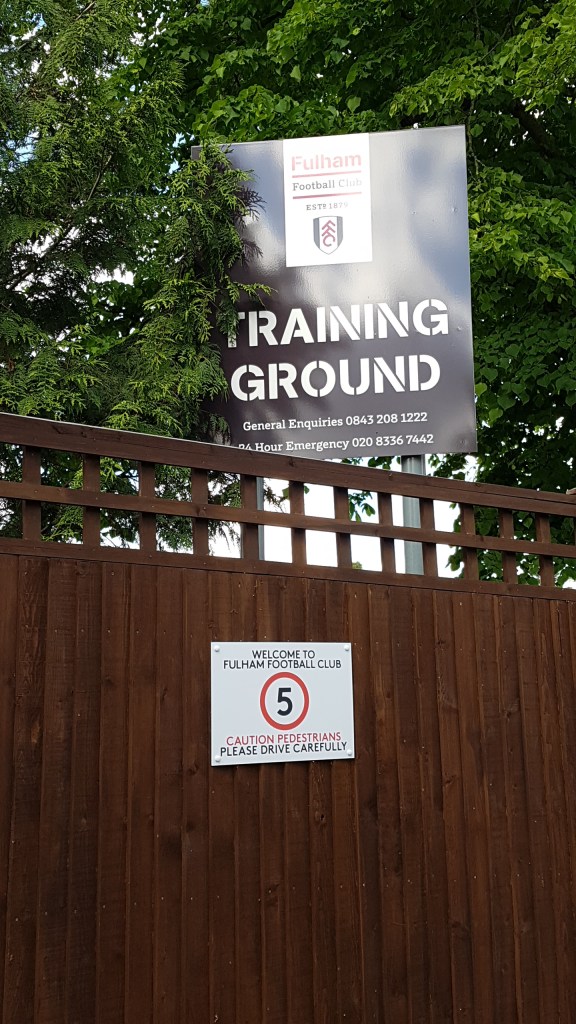
This lesser-known river was called Beferithi in 693, getting its name from where Beavers lived (they live there no more). My first sighting of the brook was over a small bridge where two roads meet – Motspur Park and West Barnes Lane. Here I followed it found as it passes along Fulham Football FC Training Ground. I followed it into a no-through road where we had to part company as it ran behind houses. There was a lot of road walking then before I eventually came out on Malden Road and cut the big sweeping corner off by stepping through the edge of Malden Manor Park before joining the main road until I reached Worcester Park Station. Here Paul Talling said Beverley Brook came out. I found it (with some excitement) just around the corner in Green Lane. There was far more to be seen than I thought there might be.
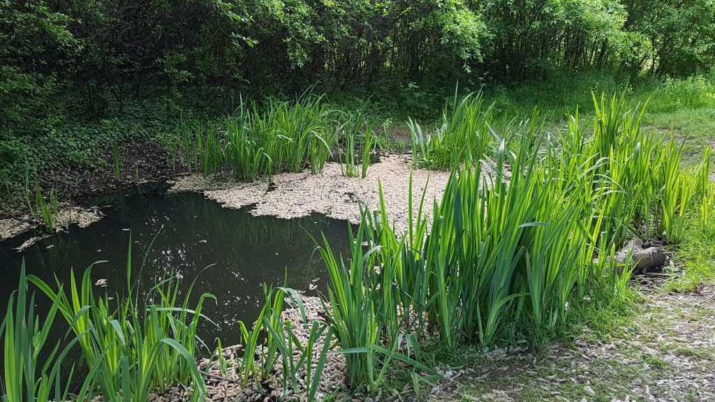
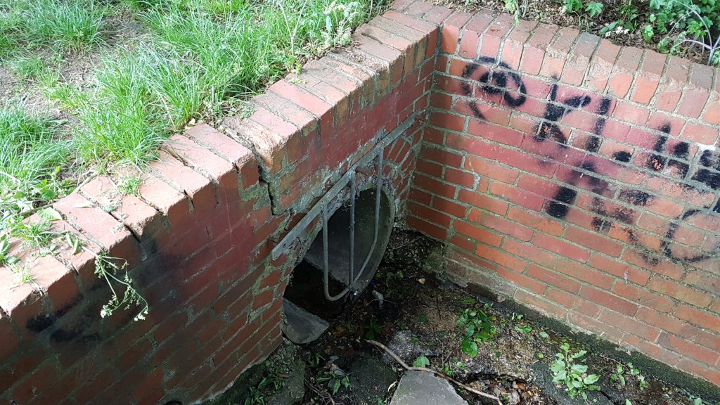
I turned back and crossed Central Road and headed up Lynwood Drive and into Sandringham Road where I found Cuddington Park. It’s a lovely park, but I had to walk the whole length of it to find the source, a rather disappointing sludge coming from a pipe. Yet I was excited. I then managed to follow the brook down back through the park using a small footpath behind the trees until it ran underground again.
I retraced my footsteps back to Central Road but this time I decided to walk back via Green Lane to see how much there was of Beverley Brook that way. It turned out to be quite a lot as it ran along the side of the road until its end. There were some giveaways too by the names of roads – Beverley and Brookside. By the local primary school, Beverley Brook disappeared down the side, and here I got lost! I tried going one way, which was in the right direction of the brook, but the road seemed to be going in a circle. I had to double back to where I last saw the river and headed in another direction. I had no idea where I was going, but I seemed to be entering a field. There were a few people about so I asked someone where it led. The lady told me to Sir Joseph’s Hood Park. That was just what I wanted!
Manor Park 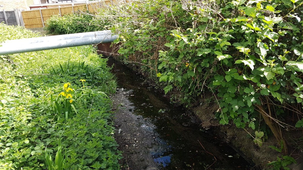
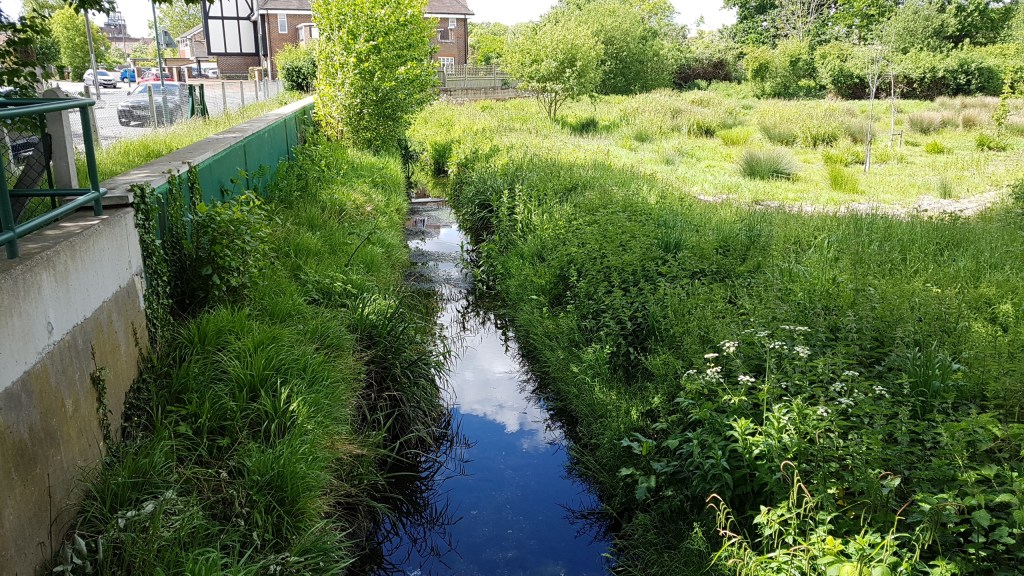
Green Lane
The source of Beverley Brook 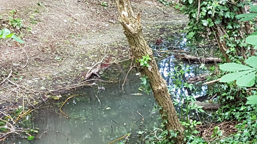
Along the path in Cuddington Park
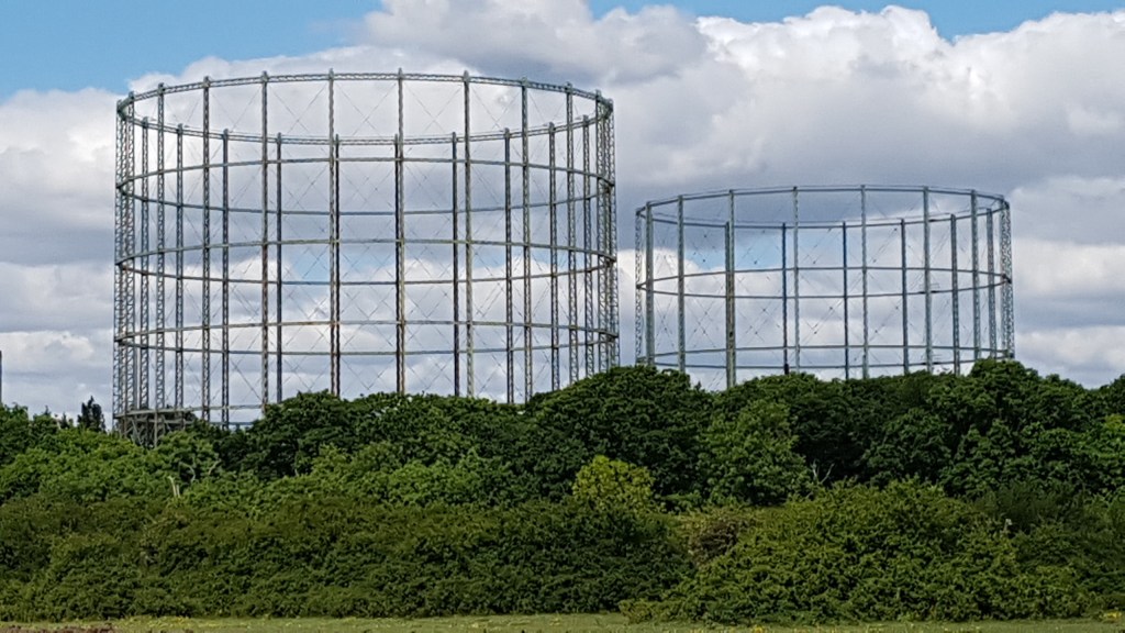
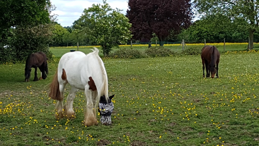
Walking through the field with horses on both sides, the wide open space was lovely. The fields were full of wild flowers and the imposing gas works (so majestic) were on my left. There was to be no more sightings of Beverley Brook which ran along by the gas works (where I couldn’t walk). The map shows the brook running alongside of the park, but though I entered a path that took me into trees I was unable to find it. Nevertheless, I was happy to have found so much evidence of the brook and finally to complete the whole accessible route from source to Thames.
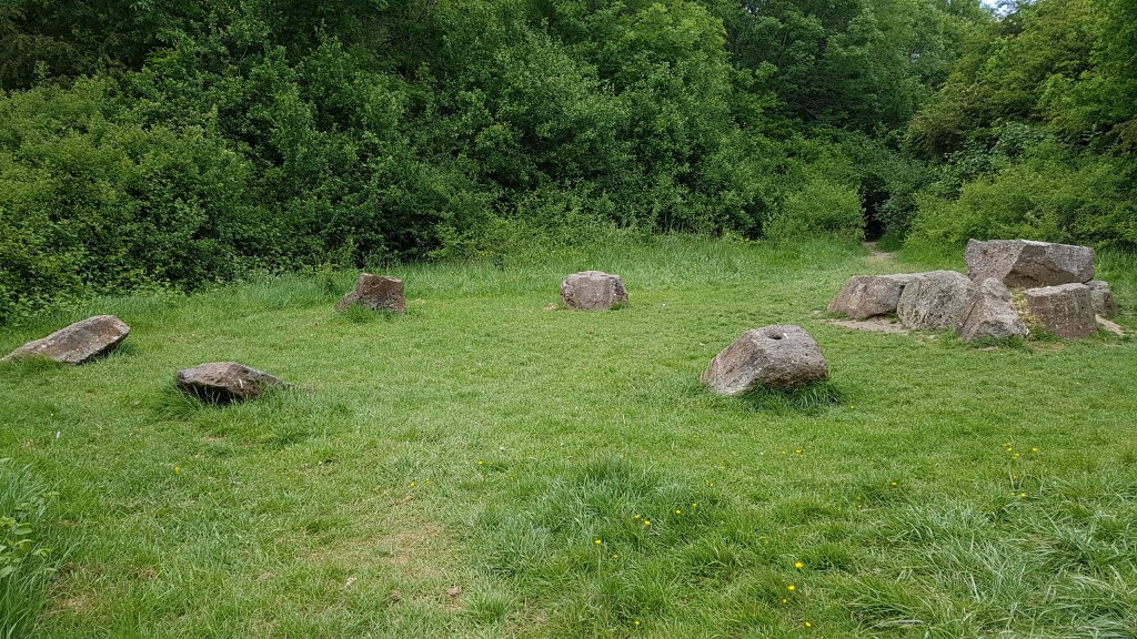
Rather interesting stone circle,
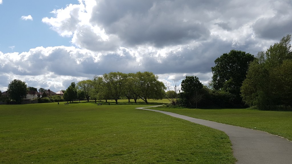
Sir Joseph Hood Park
Note: Paul Talling’s book London’s Lost Rivers, is an excellent source of information with maps and photos of the many rivers running through London. Sadly, some can only be heard through drains these days as they have been built over, but some, like Beverely Brook, rise up in certain places, and evidence can still be found in road names and other signs. Paul’s website is https://www.londonslostrivers.com/ He runs walking tours of lost rivers and has a Facebook page. The information on his website was most helpful in guiding me to the right places on this walk.
