The Hogsmill River/Bonesgate Stream

The pedestrian underpass at Tolworth

A bus ride took me to my starting point at Tolworth Court Farm Fields. I wrote about this place last summer when I first visited with a friend. Today, it was rather windy across those fields, and I was still no nearer working which field I was in, and I didn’t end up quite where I thought I would (direction not being my strong point). In fact it was a day of wrong turnings, but wrong turnings can lead to interesting discoveries.

The sun was trying to break through the clouds. I was out early and met mostly dog walkers. Underfoot the fields were a quagmire. Mud soon caked my shoes, and I had to watch where I was walking.

The start of my walk
Tolworth Court Farm Fields

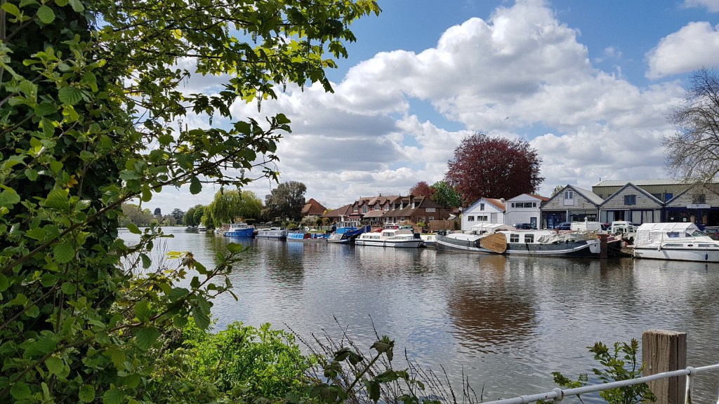
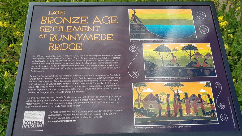
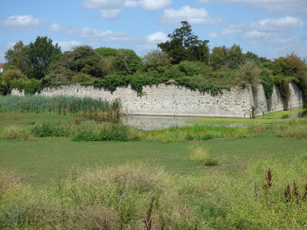
Eventually I found the river, and here was my first error. I turned right instead of left. I was heading along the Bonesgate Stream, not the Hogsmill. If I had followed that track I would have ended up nearer Chessington. There is nothing wrong with Chessington. In fact, I have crossed the Bonesgate on a previous walk through Chessington and Ashtead a couple of years ago. But this wasn’t my plan today. So retraced my steps. But before I move on I will tell you a little about the Bonesgate Stream. One part of it rises in Horton Country Park and the other in Chessington Wood. It joins the Hogsmill at Tolworth Court Farm. The Hogsmill is, of course, a tributary of the River Thames, and it meets the Thames at Kingston at Clattern Bridge, built in 1175, and is one of the oldest bridges in England.

The Bonesgate Stream
One of many bridges

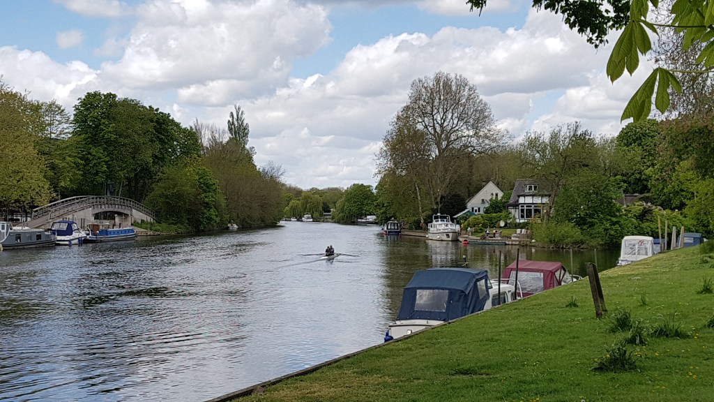
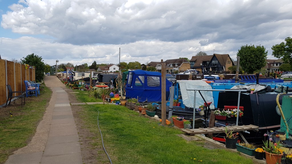
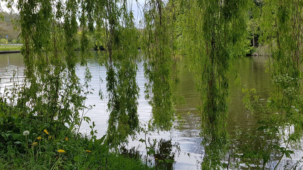
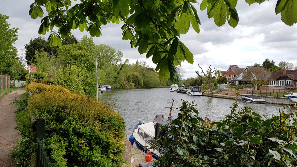
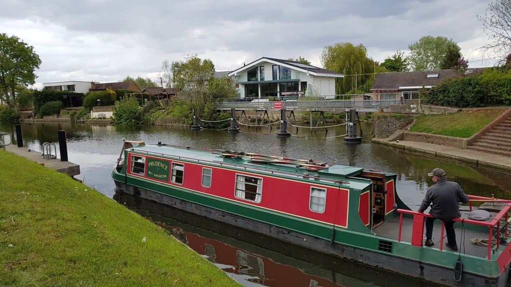
Back on the right track I found where the two rivers meet and followed the Hogsmill. Again, I thought I knew where I was and where I would come out. But no! I have walked this river before in two sections in the past – Toworth to the source at Ewell, and Tolworth to Kingston where it feeds into the Thames – yet none of it seemed familiar!

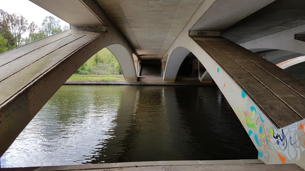
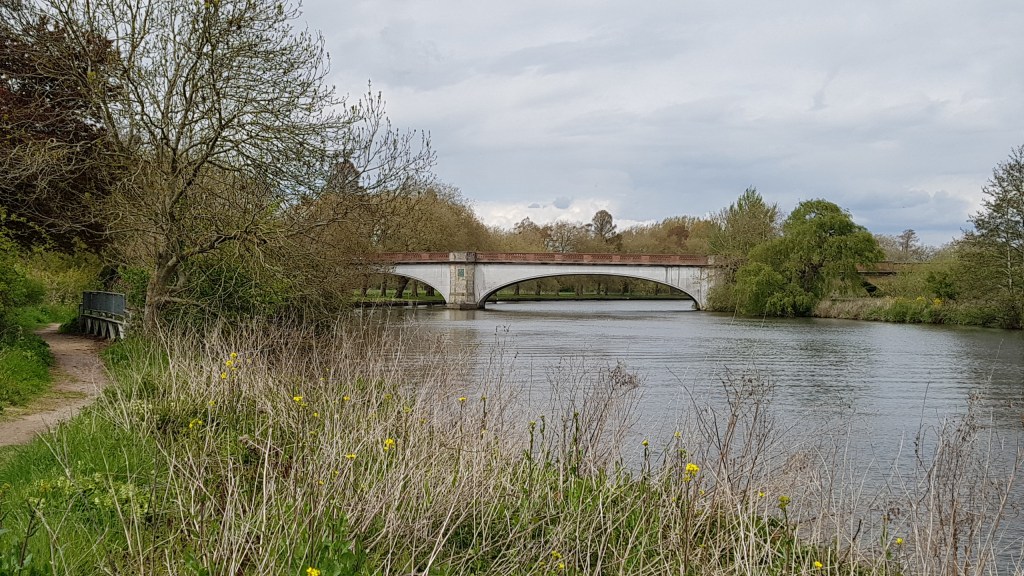
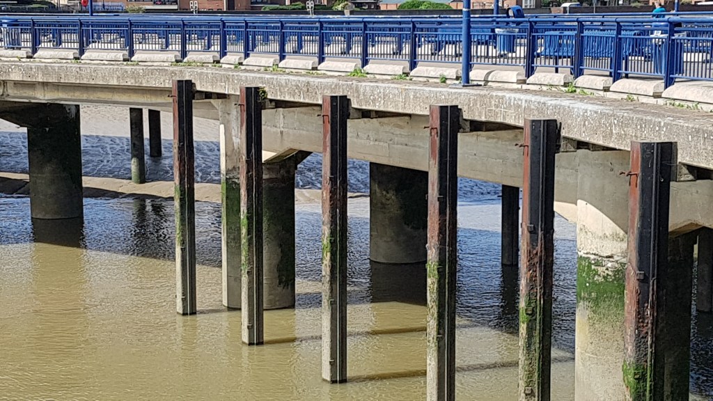
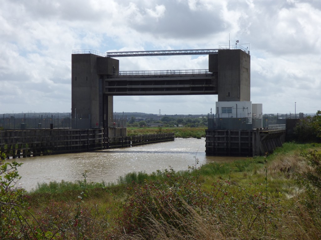
I came out on a dual carriageway and crossed over by the lights. It took me a little while to locate the way back to the path, but from the bridge (which turnes out to be Tolworth Court Bridge!) there is an excellent view of the river.

The Hogsmill River from the bridge

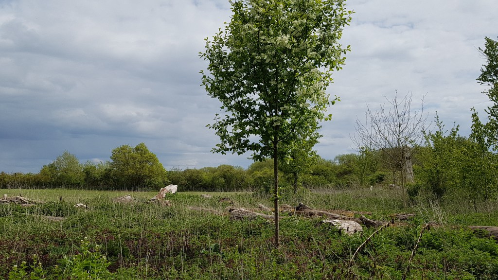
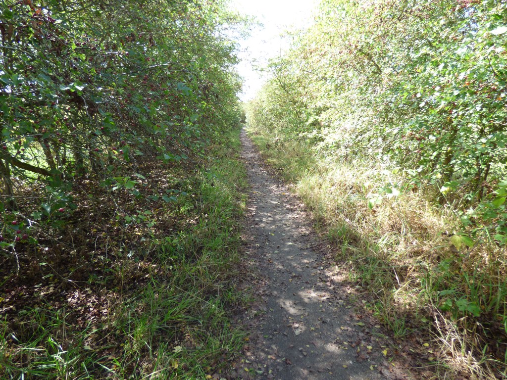
This was a lovely path, and I was following a group of walkers who had probably walked from Ewell.

I thought this was a bridge at first but there is a pipe running over the river.

By now the sun was out and, being more sheltered, I wasn’t buffeted by the wind. On this stretch it passes by Surbiton Raceway (GoKarts), and I felt this section was familiar.

Hogsmill River
The Hogsmill Pub (Toby Carvery)

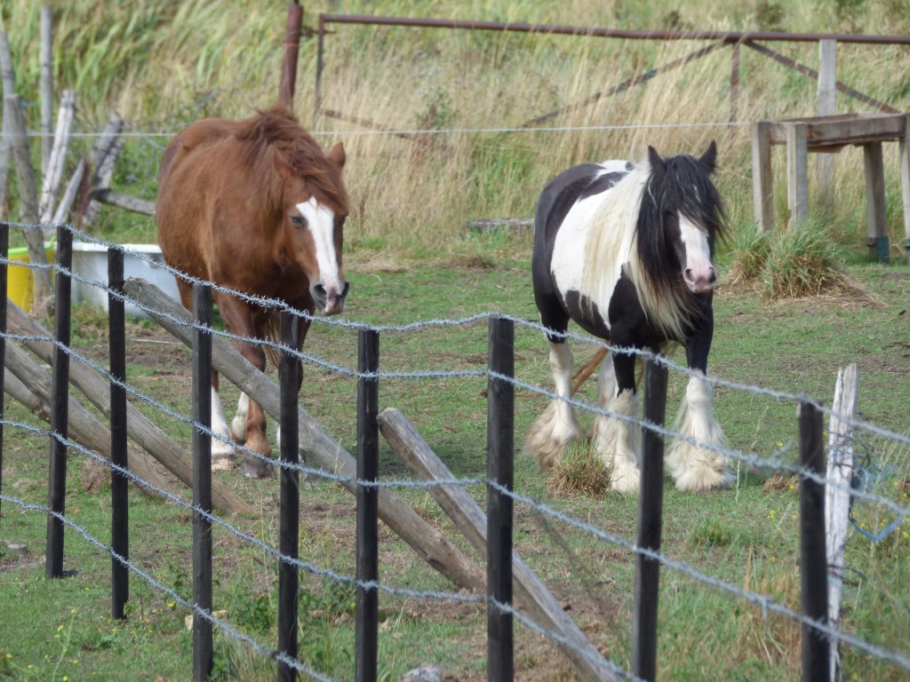
And here was my second confusion. The path ended on a main road with the Hogsmill Pub on the corner. I crossed, but it wasn’t long before I realised I was walking away from the river. I doubled back and consulted Google Maps. The only way to follow the river was to walk along the main road. The road had no pavement either side. It is a twisty turny road, and I felt rather unsafe walking along it. On the left Wimpey Homes are building new houses and apartments. Twice I came off and walked down pathways hoping to get back to the river. One turning led only to a health club, and the other was a private road, but at least there were some gorgeous ponies in a field to make friends with.

Ahhh! Time to stop and say hello

I finally found the path back to the river and saw my second heron of the day. Trying to take a photo of it proved difficult. Only my bridge camera could get that close, but even that refused to focus on anything but the foilage around it! And then it flew. Below is the best shot (nothing to write home about!)

Spot the bird

I was now definitely on familiar ground and walking across Six Acre Meadow. This is famous for John Millais‘s painting Ophelia. The setting is here, though the model for Ophelia (Lizzie Siddel) was painted in a house lying in a bath of water lit by candles to try and keep her warm. That didn’t work. She got hypothermia!

I recenty found out that another Pre-Raphaelite painter, William Holman Hunt, also painted here. There is a great booklet that can be bought from Kingston Museum all about the Hogsmill River and the link to the Pre-Raphaelite artists.

Six Acre Meadow
Under the railway bridge by The Hogsmill RIver
Hogsmill River

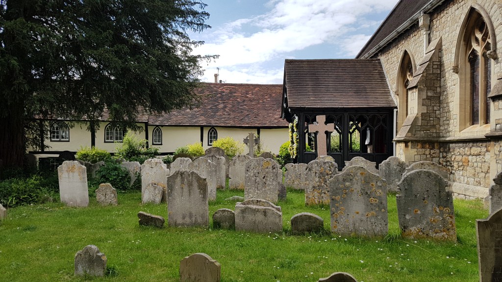
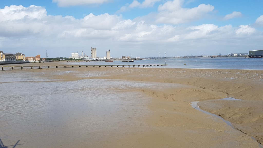
I was on the final stretch I had planned for today. My exit point was St John’s Church, Old Malden. But before we leave this lovely river behind, I would like to direct you to the excellent website of Paul Talling where you can find the history of this river and some lovely photos of the whole route. Do take a look.

The pathway to the church of St John’s
St John’s, Old Malden
Churchyard at St John’s

The pond at The Plough, Old Malden

Thames Path – Staines to Datchet

Staines-upon-Thames

Friday was the ideal day for walking this section of the Thames Path. The weather was warm and the sun was out most of the time. Technically, none of this walk is in London, but it does begin very close to the outer reaches of London! And what would a blog about London be without those days away to places that can be reached from London? It takes under an hour to reach the start of this walk by train from central London.

The Swam Master, Staines

Staines (the ‘upon-Thames’ was added a few years back) was the stopping point from the last Thames Path walk taken a couple of years ago. I am not one for walking great sections in one go, like Ramblers groups or those keen Thames Path walkers who think nothing of pounding out twelve to fourteen miles in one day. No, I am the ambler not the rambler! I like to take my time, stop in places if I want, take lots of photos, and take in the scenery. I tend to break the walks down into two or three separate walks. My legs would not manage twelve miles these days anyway!

This section of the walk is around six and quarter miles. However, by not reading the map properly and crossing the Thames at Staines bridge like I should, I managed to add a quarter to half mile extra by staying on the same side until the path ran out. I ended up walking along a main road. I then found a footpath declaring it led to Runnymede Bridge. The path led to the river, but it was dead end. Having met someone on retracing my steps I was able to take a less worn path up to the bridge and cross it (alongside the busy M25) and scoot over the barrier and down a steep path to re-join the Thames Path where I should have been walking. I doubled back to see what I had missed on this side (worth the effort), before turning around and continuing to my destination.

Taken in Lammas Recreational Ground from my off-route walking! See that bridge over there? That’s where I should have been walking!
Had I stuck to my route I’d not have come across this.

Staines has been a crossing point since Roman times and was mentioned in the Doomsday Book as property being held by Westminster Abbey. If you would like to read more of about the history of Staines, see here.

Underneath Runnymede Bridge looking towards where I should be!

Runnymede is the home of many things. Perhaps the most famous being where the Magna Carta was signed on 12th June 1215. This was the royal charter of rights agreed to and signed by King John (though his heart wasn’t in it!) There is a monument nearby commemorating the signing. Last year my husband and I visited the RAF Memorial at Runnymede, and though we saw the memorial to John F Kennedy and other memorials, we missed the one to the Magna Carta! However, on my walk on Friday I saw it across the fields. If you read my blog from last year you will see there are statues in Lalham (nearest station to the site) connected with the Magna Carta that I took photos of.

So green – Runnymede
Now on the right path I found other fascinating things

I continued my walk. The next main point of interest is Bell Weir Lock. The wall of the pub has been artistically painted with references to the Magna Carta

Pub wall
Bell Weir Lock
Thames map

From here it is a walk to Runnymede (as mentioned above) first passing a boatyard and some pretty houseboats where tables and chairs are set out.

Houseboats next to the boatyard

The day I was walking there was some sort of run going on. Further up I came across their refreshment stop. Runners were refueling before setting off again. Along this stretch, the river is on my right and the busy road to my left. Across the road is where the monument to the Magna Carta is (see photo below).

Monument to the Magna Carta

The walk continues into a quieter phase. The countryside wraps around you, the noise of the traffic departs, and all you hear are the sounds of birds and the odd boat puttering by. On the path you mostly meet dog walkers and the odd backpackers.

Walking into Old Windsor one might think that you are near the royal town with the castle. You are some miles away from all that!

Not a castle in sight, just glassy water
So good to know I am on the right path!
Perhaps my favourite photo of the walk – Old Windsor

Old Windsor Lock

Not too far after Old Winsor Lock I came to Albert Bridge which I had to cross for the last leg of this walk. This was by far the most beautiful part of the walk. Again the countryside hummed around me. Lots of trees and wild plants. Many Orange-tip butterflies flitted around me as well as buzzing bees. The scenery was wild and it made me feel wonderful just to be here.

Albert Bridge
Can you see the Orange-tip butterfly?

After a while, the path veered right and ran alongside farmland towards the road, though the path was fenced. I was nearly at my journey’s end and soon came across the sign for Datchet.

By now I was desperate for a cup of tea and wondered what Datchet would offer. Firstly, I had to find the Thames again, just to mark my stopping point.

And here we are – the stretch of Thames at Datchet
First glimpse of Datchet

Datchet is a pretty village with a green and a very old tree. It was planted to celebrate Queen Victoria’s Golden Jubilee in 1887. That is where I sat (under the tree) to drink my cup of tea. I did not expect to find a Costa in Datchet, but I was so grateful as there was nothing else open. The train station was close by and it was time now to head home. It had been a wonderful walk.

On the green
St Mary’s Church
Queen Victoria’s tree

Erith to Crayford Ness – where the Thames Path Extension officially ends

Erith Pier

It was business as usual this week. The heatwave has subsided and we had to contend with rain instead. So. choosing the right day for a walk was important. Luckily we chose the best!

Believe it or not, this is still classed as London! You can catch a train from Charing Cross to get here (about 40 minutes on the stopping train). Erith has a town with shopping centre, but you need to cross a very busy road to get there and to the river – there is a public underpass with a couple of neat art instalations about the river. The walk itself is a short one, at a guess, about three miles or so. It was an ambling day!

Erith pedestrian underpass

We walked along the pier and I was fascinated by the ripples in the sand. We then doubled back. To the left is the Thames Path leading into London. Last time we were here in Erith we walked that way as far as Woolwich. At Erith you cannot see the tall towers of London, but across the river is Essex and Rainham Marshes. However, today we were heading right.

Looking towards London

The first section we walked was mainly off river. We had to leave the quiet behind and cope with the noisy road with an industrial estate on our left. Then finally we found the path leading back down to the river. Here was a wind turbine. They always fasccinate me and you could hear it as whirled around. This section is lovely as you come out into the wild. In the distance we could see the Queen Elizabeth II Bridge at Dartford. This crosses the river and you get good views of it. On either side of the path is scrub with bushes and grass, lots of grasshoppers and butterflies. We found an old railway sleeper to sit on and eat our lunch. There were harldy any people about.

This is where we stopped for lunch

Walking further around we did encounter another industrial estate on our right but at least we had the river on our left. We approached the leaving point of the river Thames where at Crayford Ness you meet the River Darent running into the Thames. Here we followed the Darent (there is nowhere to cross it for this is the end of the Thames Path Extension) and found Dartford Creek Barrier which is used for high tides (possibly in conjunction with the Thames Barrier). More on the River Darent can be found here.

We followed the river until we came to another path. We needed to get to Slade Green Ststion and thought we knew which path we needed, but there were was no signage. Before I could consult the book another walker came along and he confirmed the path we needed was the one we thought. The other path (he was taking) was part of the London Loop which goes around all over London.

Dartford Creek Barrier – River Darent

The walk back to Slade Green Station was lovely. Trees overhung almost forming a tunnel. It was a nice respite from the hot sun. On our left and right were fields with horses. Then the best find of the day. Over in one field where two horses roamed I could see what looked like a moat! I consulted the Thames Path Book which informed me that what we were looking at was indeed a moat. This is Howbury Moat, formerly part of a Manor which dates back to the 11th century when Odo, Bishop of Bayeux lived there. He was the half brother of William the Conqueror!

The path to Slade Green Station
Howbury Moat, mentioned in the Doomsday Book

From there it was just a short walk to the station and the train back into London. I have walked many stretches of the Thames Path over the last few years. Put together I’ve walked from Staines (Middlesex), through the whole of London to where the Thames path ends at Crayford Ness. This section was perhaps the shortest part I’ve walked, but it was lovely all the same.

This excellent guide has travelled with me on the routes. This one I have now completed and have edged into the the one from the source to Hamtopton Court!

If you want more river walks I have written about Gravesend (Thames Estury) on another blog : https://pieceoftheattraction.blogspot.com/2019/09/gravesendwhat-is-that-all-about.html

Design a site like this with WordPress.com
Get started