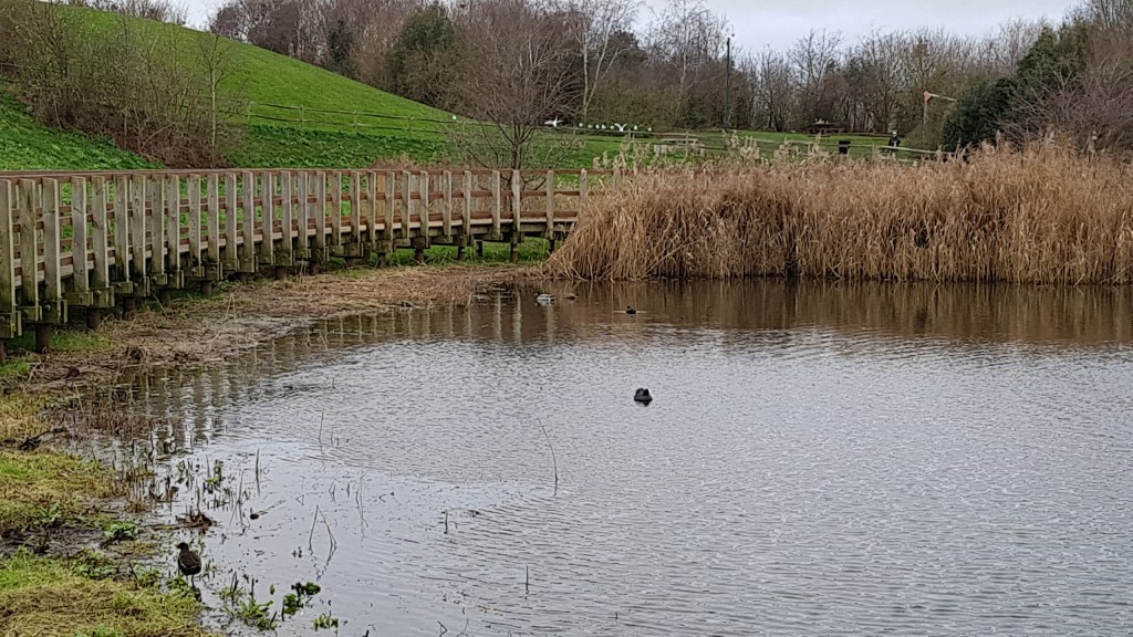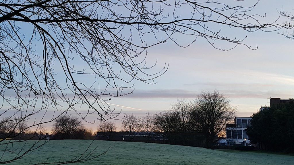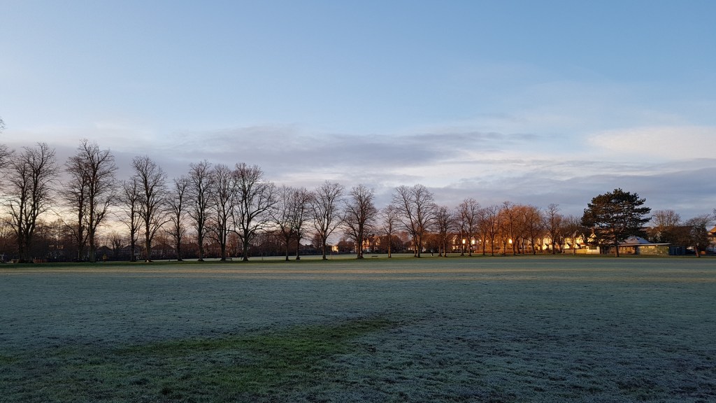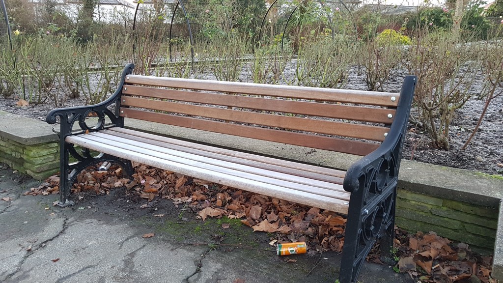

Barnes Pond
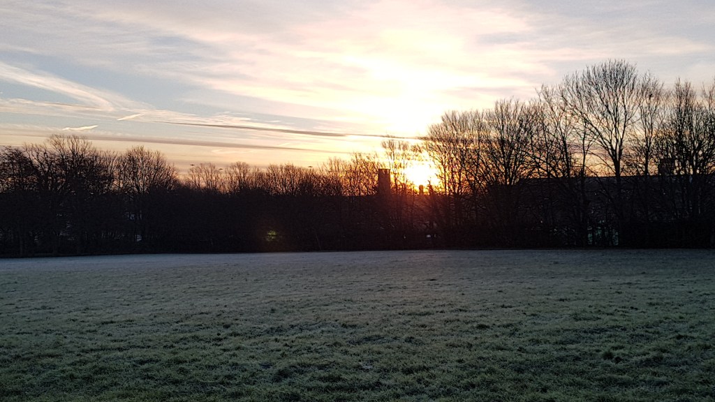
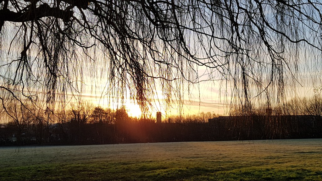
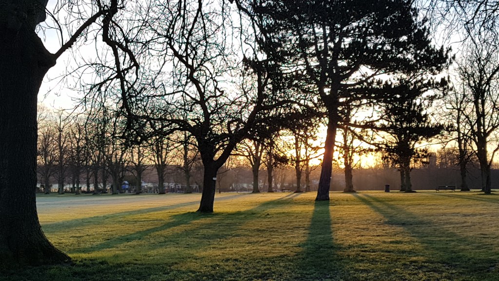
This blog post is hot off the press as I only walked it this morning. The day was bright but cold. Enough to freeze my fingers. The walk, from the AA book Walking London, begins at Barnes Station and ends at Barnes Bridge Station. The duration of the walk is about five and half miles.
The first stopping point was Marc Bolan‘s memorial off Queen’s Ride. I’d wanted to visit for years, as being a bit of a T Rex fan back in the 70’s. I remember it was quite a shock when he died in a car crash on this road. So this was a bit of a pilgrimage for me.


The memorial is bigger than I imagined. Many fan pictures are left here. Obviously this is still well used. I would think there would be a gathering on important days, like his birthday or the anniversay of his death. I was pleased to finally see it.
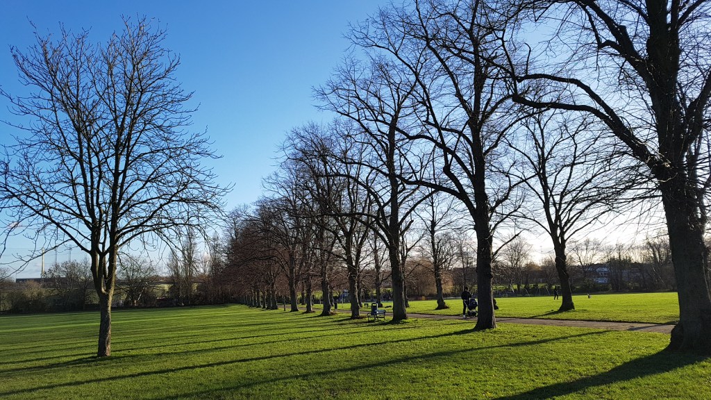
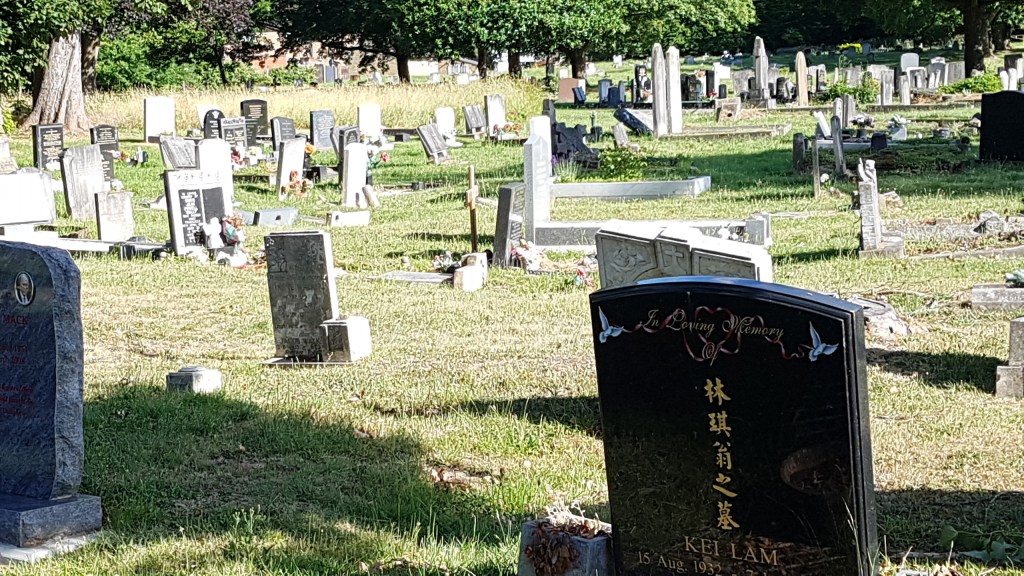
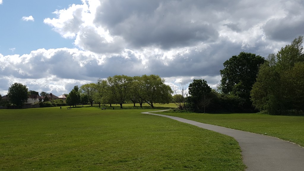
The instructions for the first part of this walk were not that helpful, but to be fair it wasn’t an easy route across the common with things like ‘look for the low growing trees, and the lone bush.’ We did find Barnes old cemetery, but more with the help of the roads crossing the common. We didn’t necessarily go the way that was indicated, only because it was confusing from the description. Once at the cemetery the walk became easier to follow.

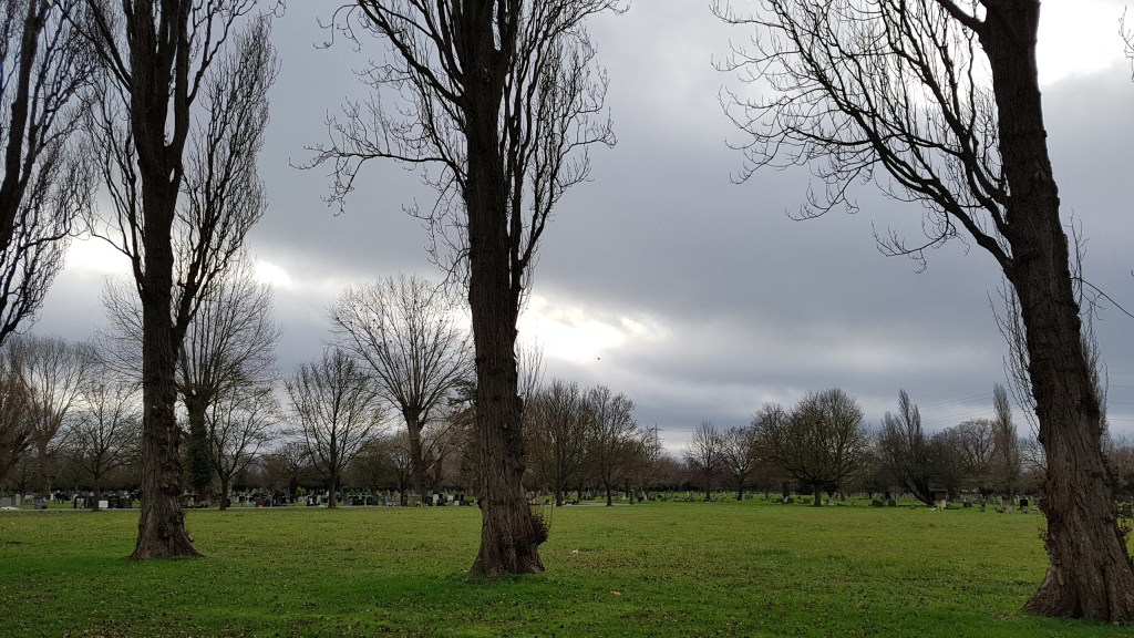
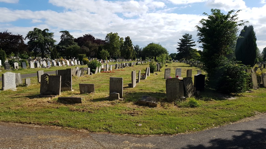
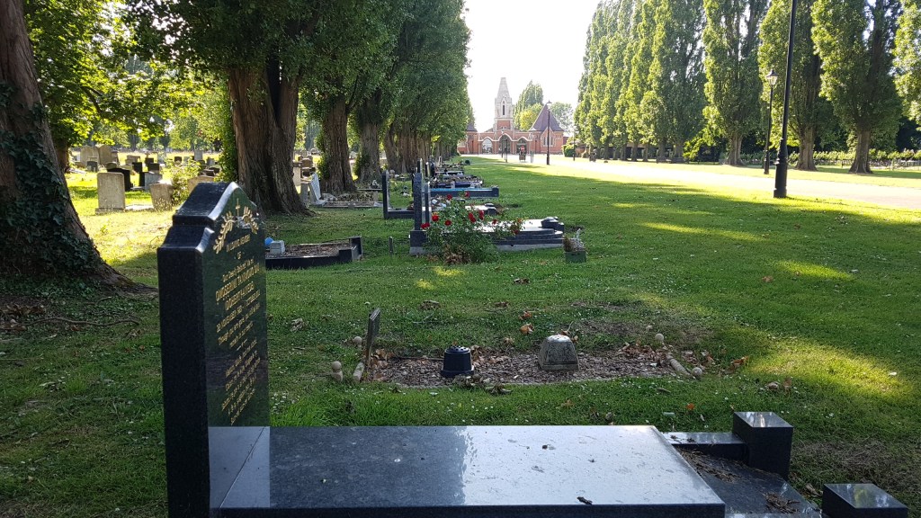
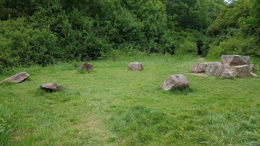
Barnes Cemetery
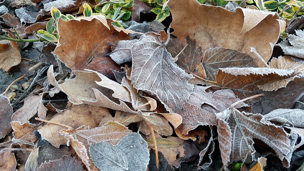
I had been through part of the cemetery some years ago on a walk following the route of Beverley Brook, but this was a different part. There is something about old graveyards that I like. Far from feeling eerie (as mentioned in the book), I find it peaceful.

A grave of note is Alexander Joseph Finberg, an author and artist. I could not find a photgraph of him online, or much detail about him, though there are plenty of sites with some detail.

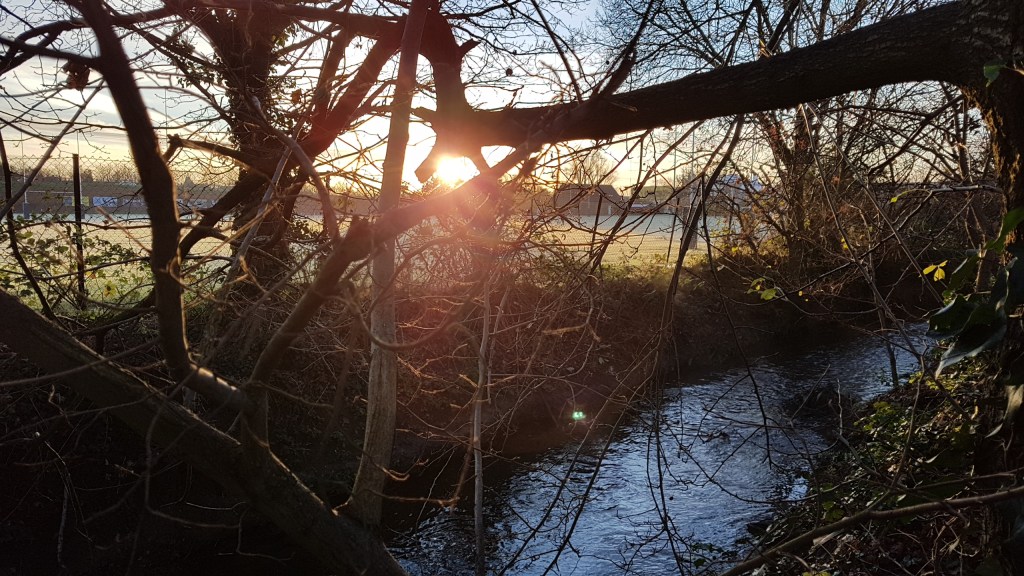
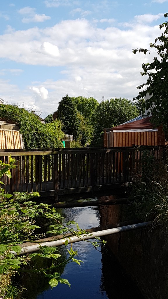
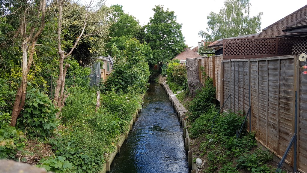
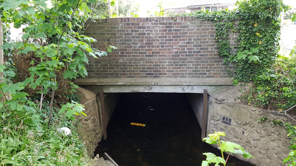
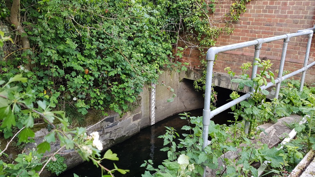
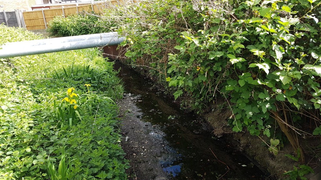
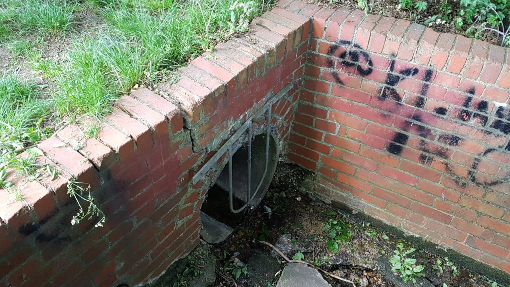
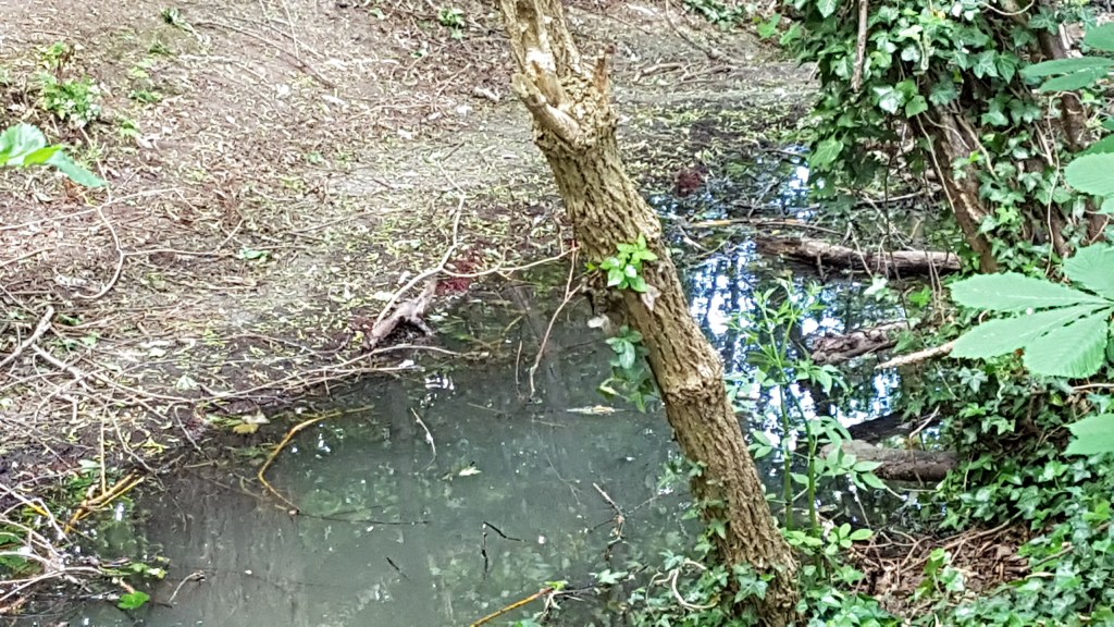
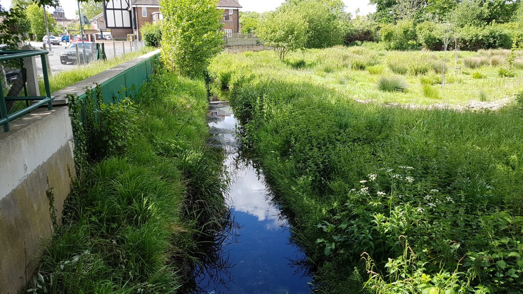
Here is a map of the Beverly Brook walk which croses Barnes Common and the cemetery before flowing into the River Thames.

And here is Beverley Brook.

And another map!

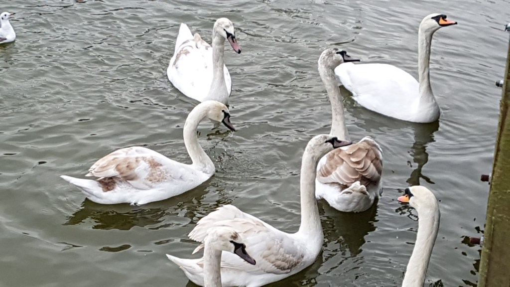
Barnes Pond
We stopped by the pond and had a hot drink and cake at Barnes Theatre. A chance to refuel and get warm before the last part of the walk. We set off again and took a look at Milbourne House once owned by Henry Fielding, author of Tom Jones. This is the oldest building in Barnes, some of which dates from the 1400’s. We then headed down to the Thames Path.

Low tide at Barnes

Barnes Bridge
Along The Terrace opposite the River Thames we came across two more houses with blue plaques (which for some reason were not mentioned in the guide book). The first is the house of Gustav Holst, composer. He was the first classical composer whose work I ever really heard and liked. I was about ten at the time. The piece I heard was Jupiter from The Planets. Later I bought the LP. He has hall named after him at Morley College in Lambeth (I’ve been inside it). He either taught or played there.

Gustav Holts house
The next house, a little further down the road, was once where Dame Ninette De Valois, founder of the Royal Ballet, lived. (see below)

Now for something quite extraordinary, and worth this walk alone. In the churchyard of St Mary Magdalen is the tomb of Sir Richard Burton. No, not the actor, but the Victorian explorer and linguist. The stone tomb is a replica of a Bedouin tent and is adorned with Islamic crescents and moons. And, as if that isn’t enough, if you go round the back of the tomb there is a ladder up which you can view from the top, through the window, the coffins of Burton and his wife. This is something not to be missed.

The tomb stands 12ft square by 18ft high.


The ladder. Go on, I know you want to look. Come with me!

The two coffins

The coffins are surrounded by artifacts such as lamps and helmets.

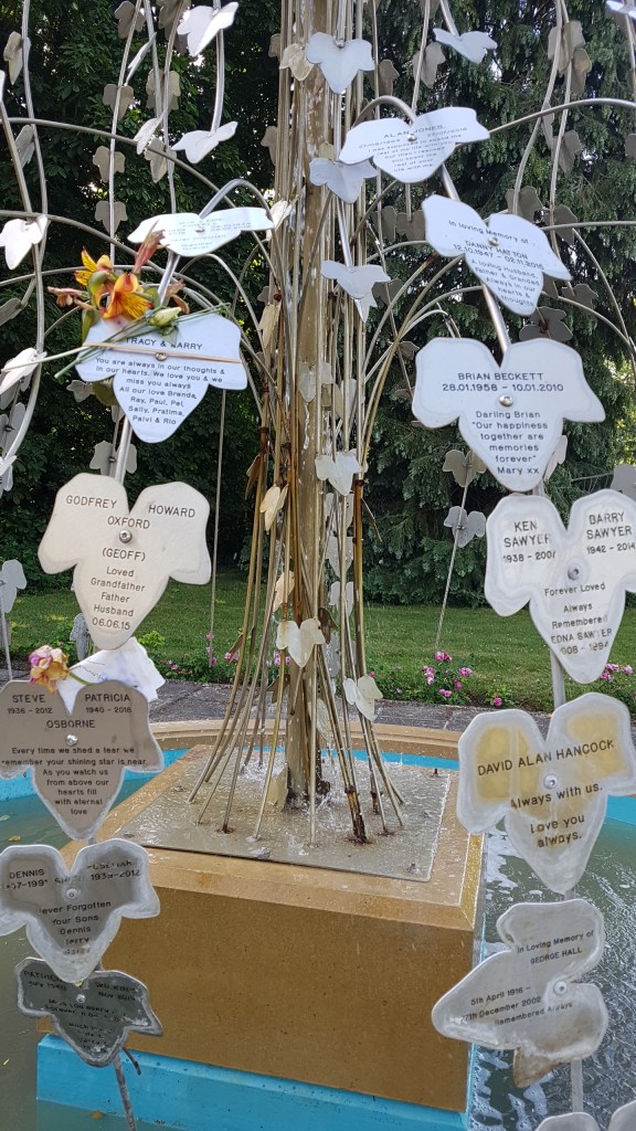
Other graves in the churchyard

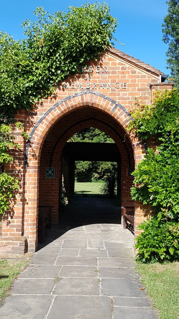
The final stop was St Mary the Virgin church, which luckily was open. It has a lovely stone arch and on the first staturday of the month you can go up the bell tower.

The archway

The church of St Mary the Virgin, Barnes

Inside the church

Stained glass window

Over the main doors

If you are into fish dining, Rick Stein has a restuarant close to the river.
And finally something for you to go ‘Ahh’ about. Three baby Egyptian ducks on the steps by the River Thames.

This was one of the strangest walks I’ve ever done, but great fun. Yes, we nearly got lost at the start of the walk, but we made it and was well worth going out on a cold, cold day.