It was business as usual this week. The heatwave has subsided and we had to contend with rain instead. So. choosing the right day for a walk was important. Luckily we chose the best!
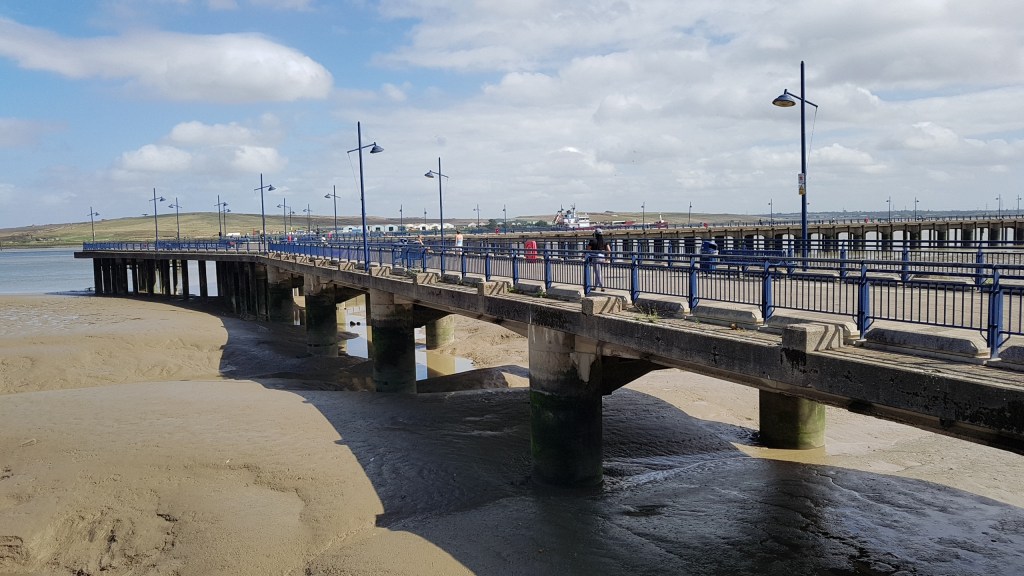
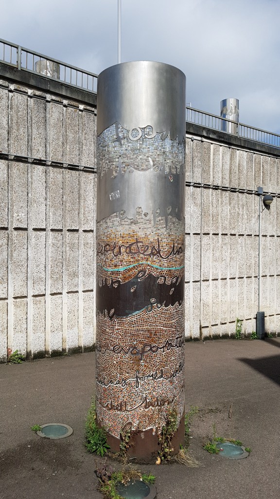
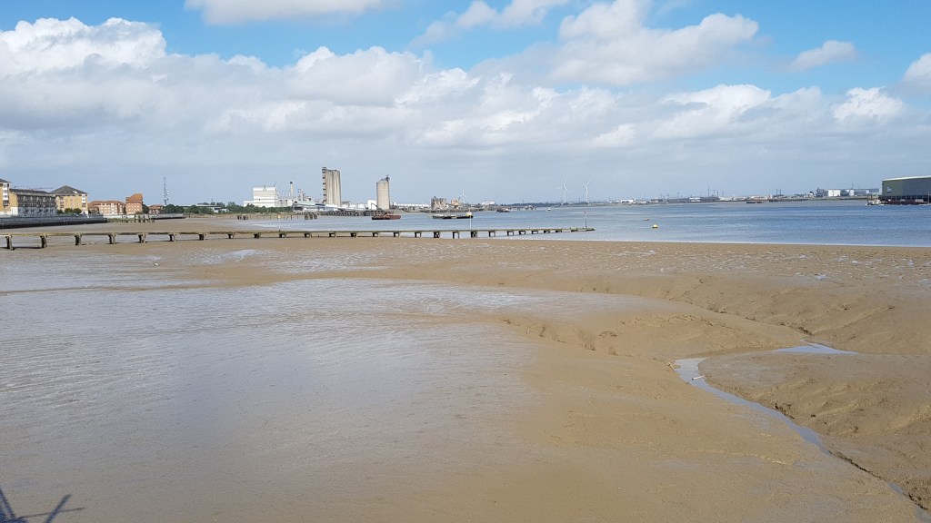
Believe it or not, this is still classed as London! You can catch a train from Charing Cross to get here (about 40 minutes on the stopping train). Erith has a town with shopping centre, but you need to cross a very busy road to get there and to the river – there is a public underpass with a couple of neat art instalations about the river. The walk itself is a short one, at a guess, about three miles or so. It was an ambling day!
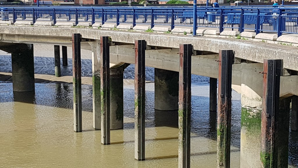
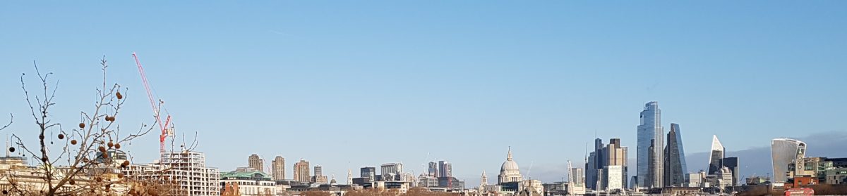
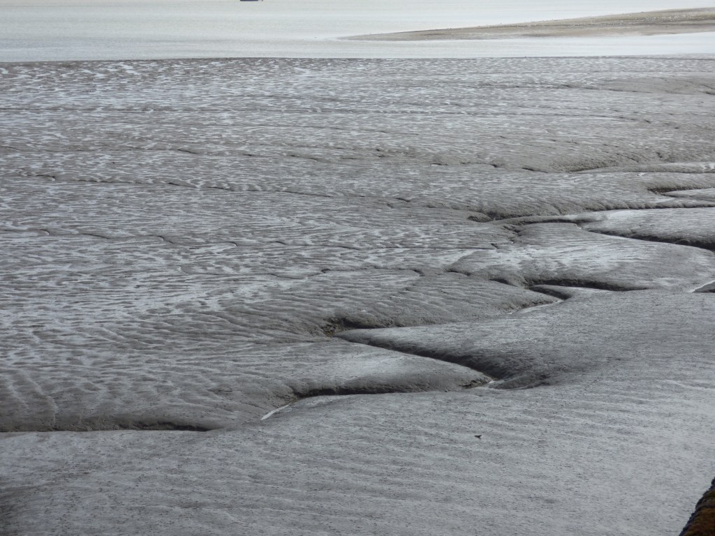
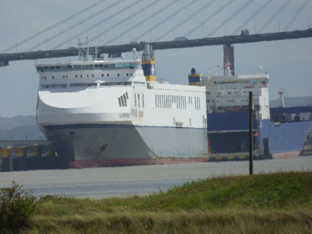
We walked along the pier and I was fascinated by the ripples in the sand. We then doubled back. To the left is the Thames Path leading into London. Last time we were here in Erith we walked that way as far as Woolwich. At Erith you cannot see the tall towers of London, but across the river is Essex and Rainham Marshes. However, today we were heading right.
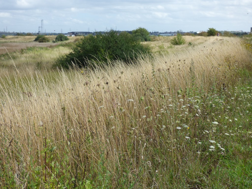
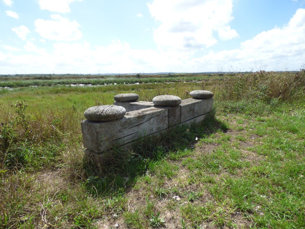
The first section we walked was mainly off river. We had to leave the quiet behind and cope with the noisy road with an industrial estate on our left. Then finally we found the path leading back down to the river. Here was a wind turbine. They always fasccinate me and you could hear it as whirled around. This section is lovely as you come out into the wild. In the distance we could see the Queen Elizabeth II Bridge at Dartford. This crosses the river and you get good views of it. On either side of the path is scrub with bushes and grass, lots of grasshoppers and butterflies. We found an old railway sleeper to sit on and eat our lunch. There were harldy any people about.

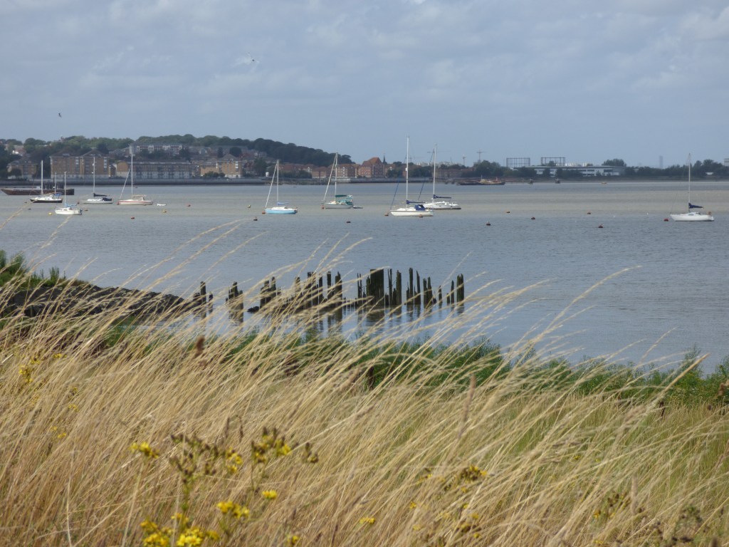
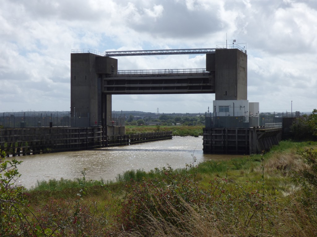
Walking further around we did encounter another industrial estate on our right but at least we had the river on our left. We approached the leaving point of the river Thames where at Crayford Ness you meet the River Darent running into the Thames. Here we followed the Darent (there is nowhere to cross it for this is the end of the Thames Path Extension) and found Dartford Creek Barrier which is used for high tides (possibly in conjunction with the Thames Barrier). More on the River Darent can be found here.
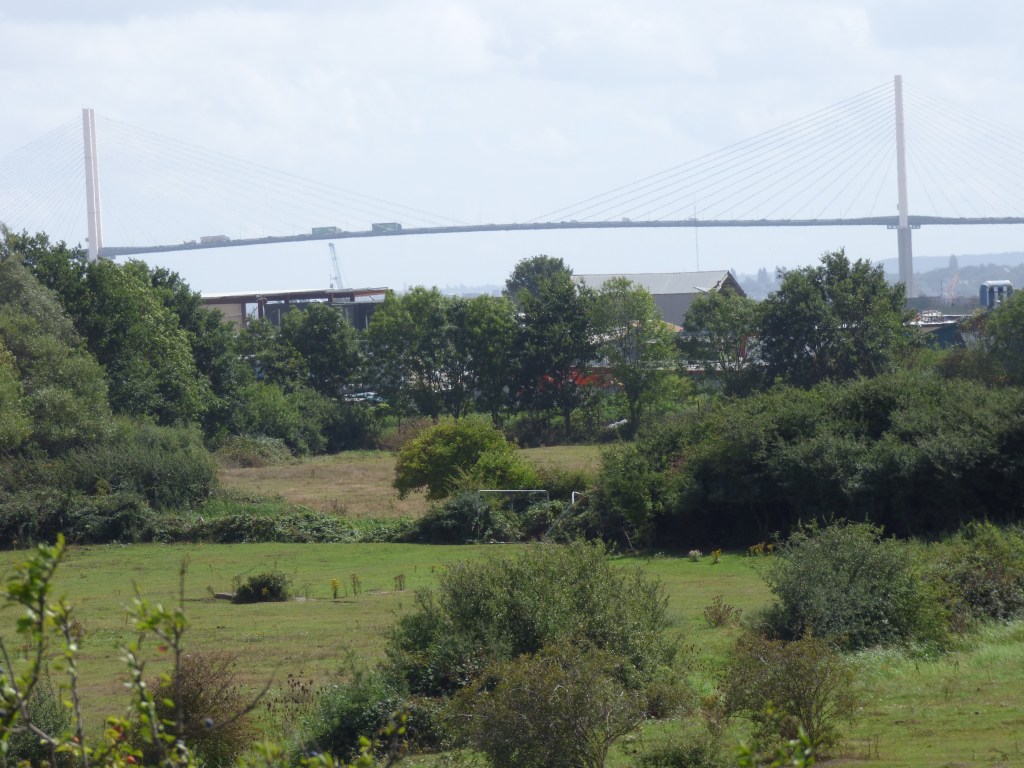
The Dartford Crossing – Queen Elizabeth II Bridge
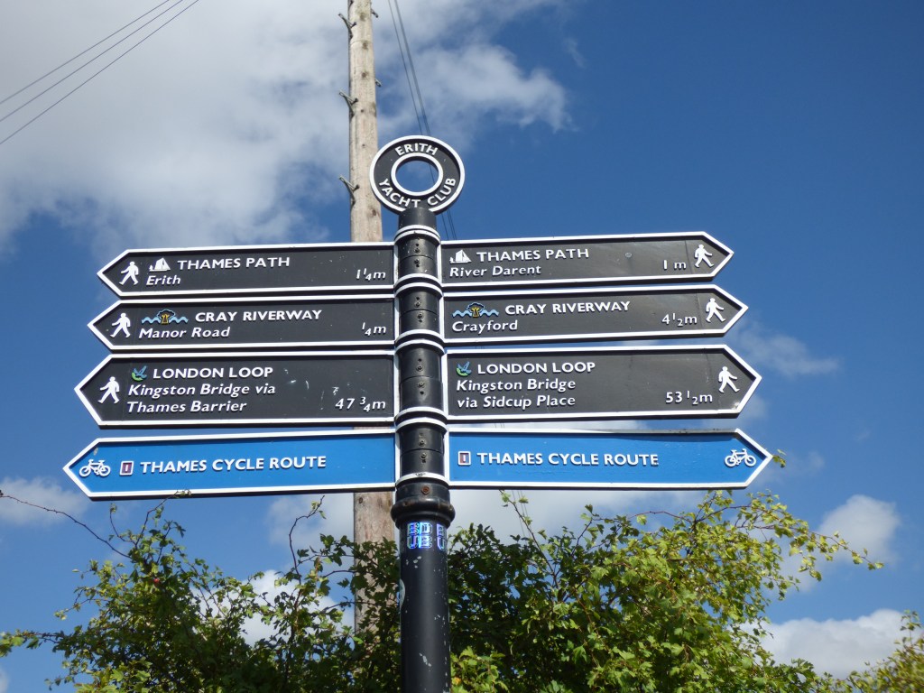
We followed the river until we came to another path. We needed to get to Slade Green Ststion and thought we knew which path we needed, but there were was no signage. Before I could consult the book another walker came along and he confirmed the path we needed was the one we thought. The other path (he was taking) was part of the London Loop which goes around all over London.
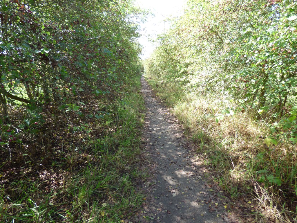
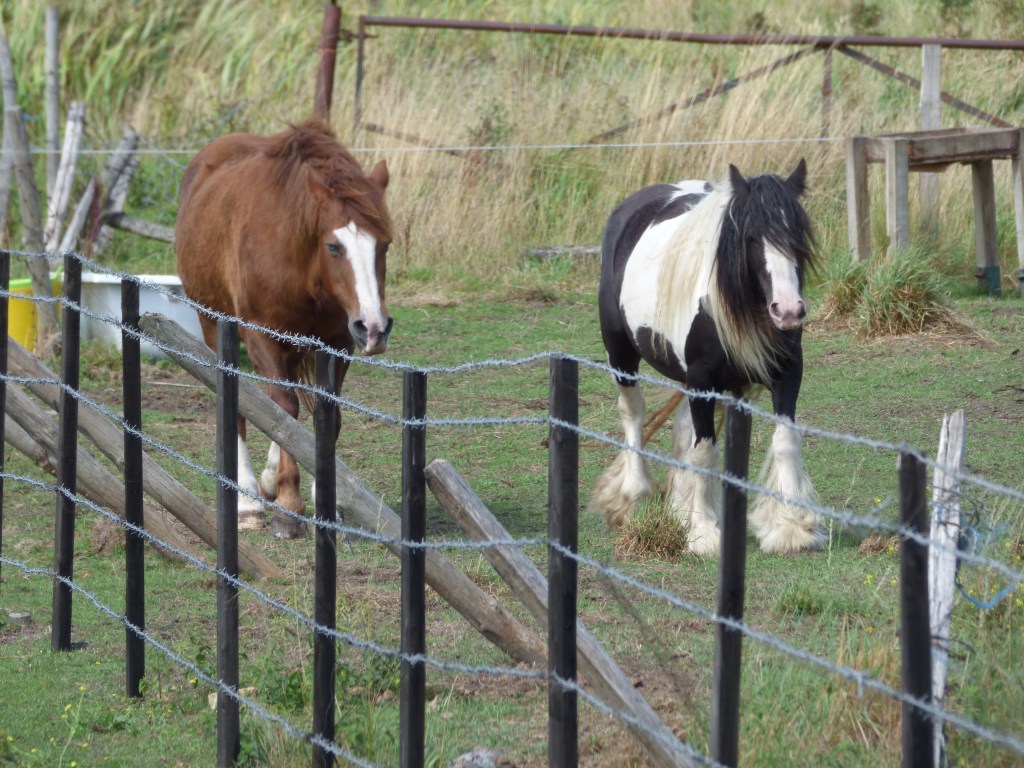
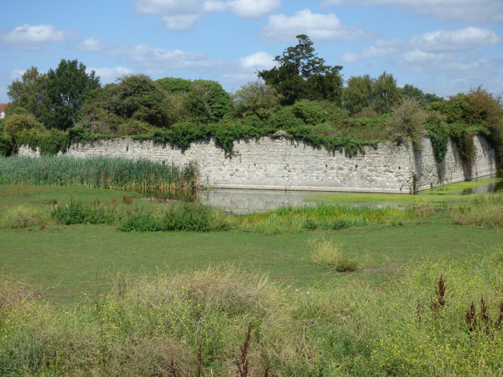
The walk back to Slade Green Station was lovely. Trees overhung almost forming a tunnel. It was a nice respite from the hot sun. On our left and right were fields with horses. Then the best find of the day. Over in one field where two horses roamed I could see what looked like a moat! I consulted the Thames Path Book which informed me that what we were looking at was indeed a moat. This is Howbury Moat, formerly part of a Manor which dates back to the 11th century when Odo, Bishop of Bayeux lived there. He was the half brother of William the Conqueror!
From there it was just a short walk to the station and the train back into London. I have walked many stretches of the Thames Path over the last few years. Put together I’ve walked from Staines (Middlesex), through the whole of London to where the Thames path ends at Crayford Ness. This section was perhaps the shortest part I’ve walked, but it was lovely all the same.
If you want more river walks I have written about Gravesend (Thames Estury) on another blog : https://pieceoftheattraction.blogspot.com/2019/09/gravesendwhat-is-that-all-about.html
