Friday was the ideal day for walking this section of the Thames Path. The weather was warm and the sun was out most of the time. Technically, none of this walk is in London, but it does begin very close to the outer reaches of London! And what would a blog about London be without those days away to places that can be reached from London? It takes under an hour to reach the start of this walk by train from central London.
Staines (the ‘upon-Thames’ was added a few years back) was the stopping point from the last Thames Path walk taken a couple of years ago. I am not one for walking great sections in one go, like Ramblers groups or those keen Thames Path walkers who think nothing of pounding out twelve to fourteen miles in one day. No, I am the ambler not the rambler! I like to take my time, stop in places if I want, take lots of photos, and take in the scenery. I tend to break the walks down into two or three separate walks. My legs would not manage twelve miles these days anyway!
This section of the walk is around six and quarter miles. However, by not reading the map properly and crossing the Thames at Staines bridge like I should, I managed to add a quarter to half mile extra by staying on the same side until the path ran out. I ended up walking along a main road. I then found a footpath declaring it led to Runnymede Bridge. The path led to the river, but it was dead end. Having met someone on retracing my steps I was able to take a less worn path up to the bridge and cross it (alongside the busy M25) and scoot over the barrier and down a steep path to re-join the Thames Path where I should have been walking. I doubled back to see what I had missed on this side (worth the effort), before turning around and continuing to my destination.
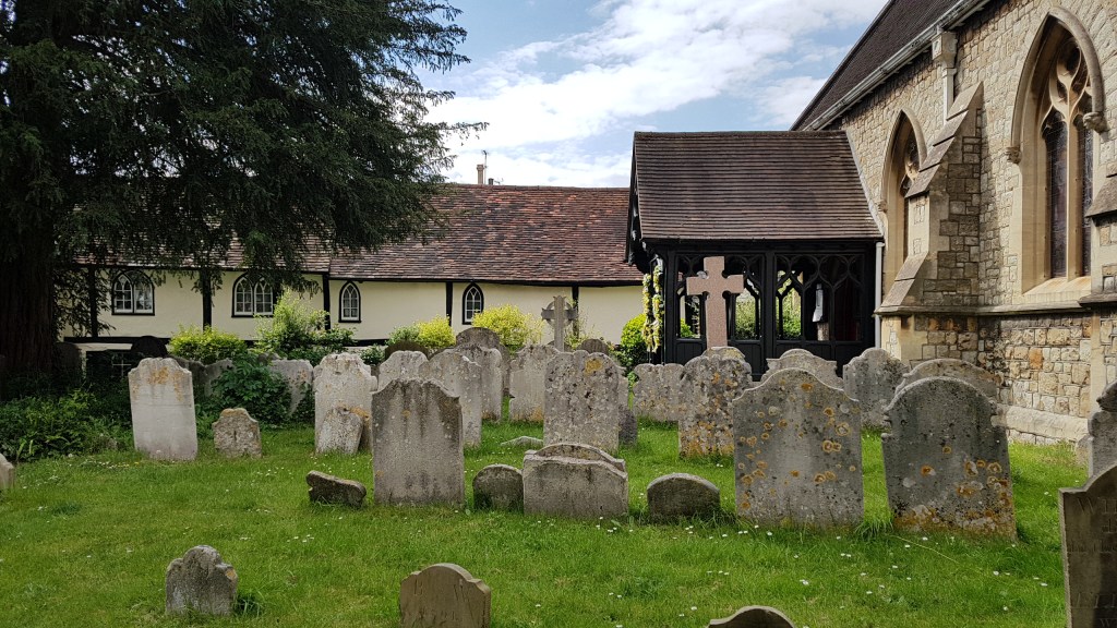
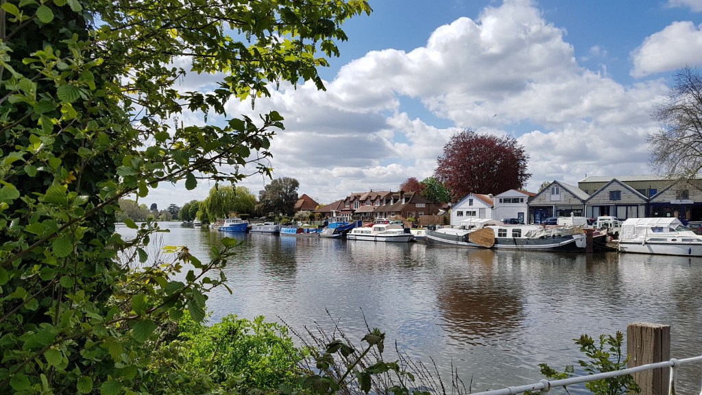
Staines has been a crossing point since Roman times and was mentioned in the Doomsday Book as property being held by Westminster Abbey. If you would like to read more of about the history of Staines, see here.
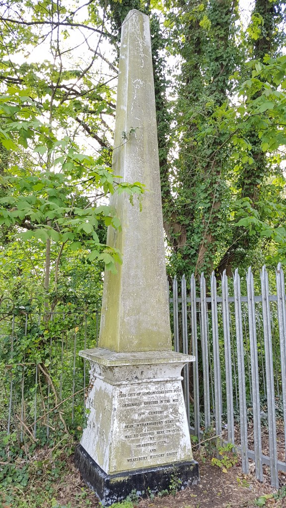
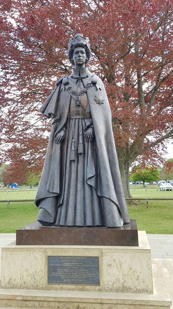
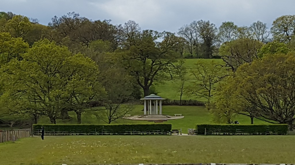
Runnymede is the home of many things. Perhaps the most famous being where the Magna Carta was signed on 12th June 1215. This was the royal charter of rights agreed to and signed by King John (though his heart wasn’t in it!) There is a monument nearby commemorating the signing. Last year my husband and I visited the RAF Memorial at Runnymede, and though we saw the memorial to John F Kennedy and other memorials, we missed the one to the Magna Carta! However, on my walk on Friday I saw it across the fields. If you read my blog from last year you will see there are statues in Lalham (nearest station to the site) connected with the Magna Carta that I took photos of.
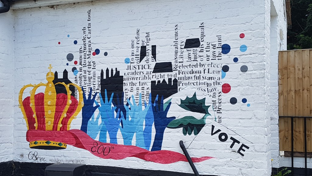
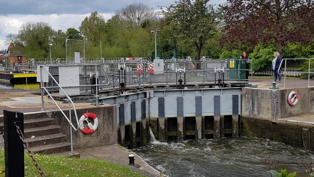
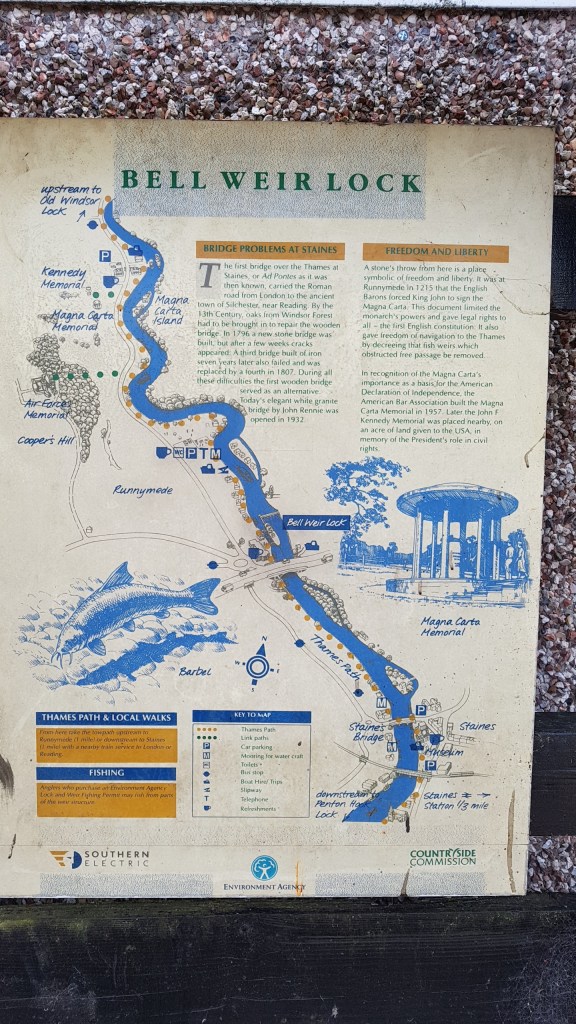
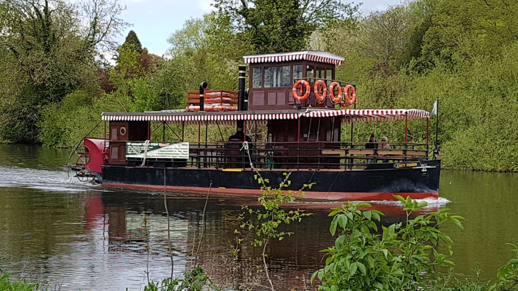
I continued my walk. The next main point of interest is Bell Weir Lock. The wall of the pub has been artistically painted with references to the Magna Carta
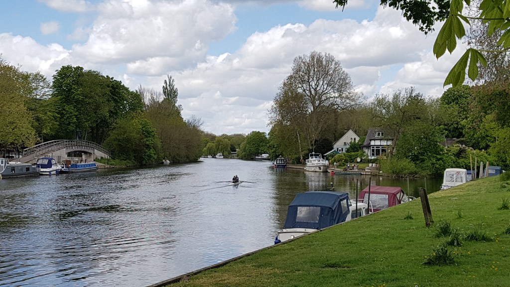
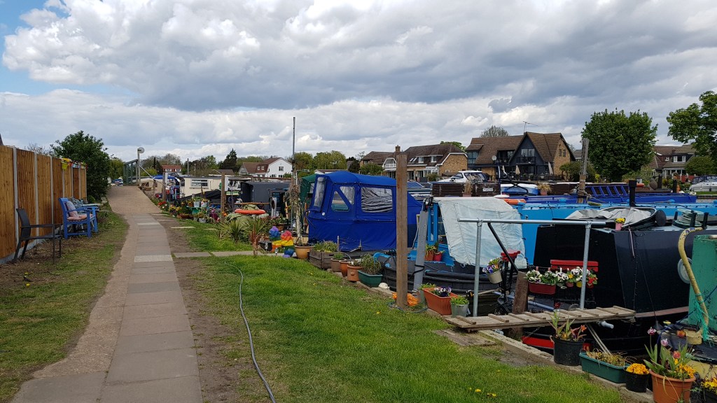
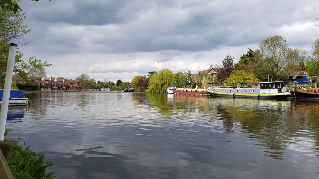
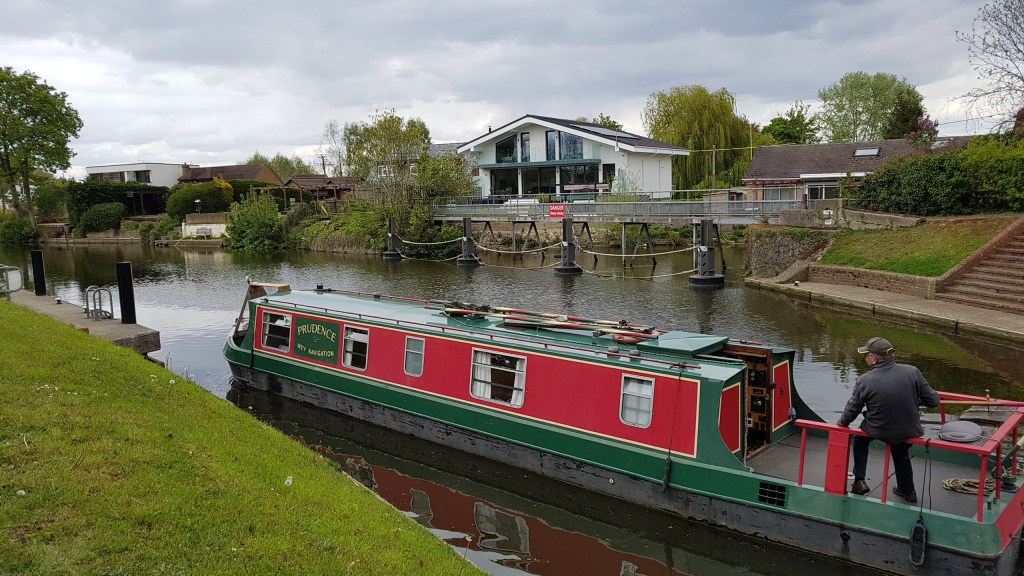
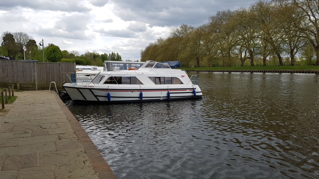
From here it is a walk to Runnymede (as mentioned above) first passing a boatyard and some pretty houseboats where tables and chairs are set out.
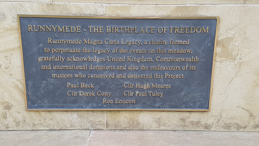
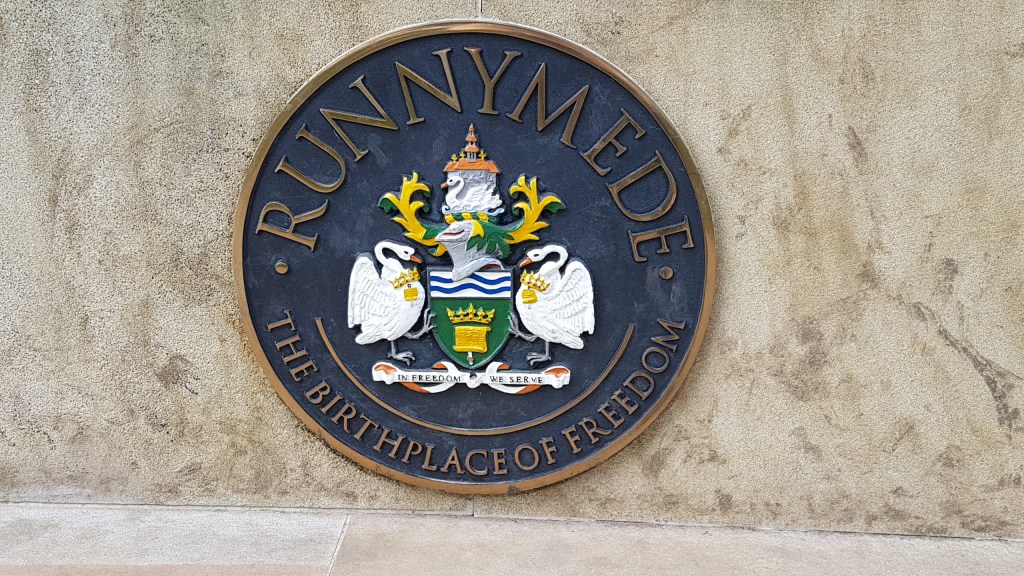
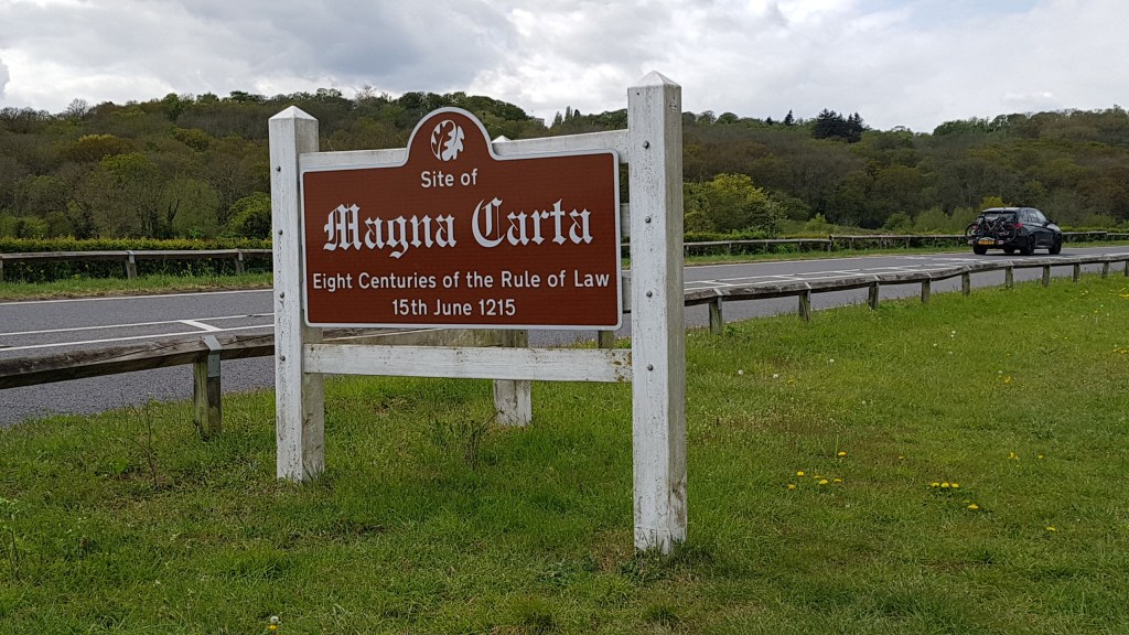
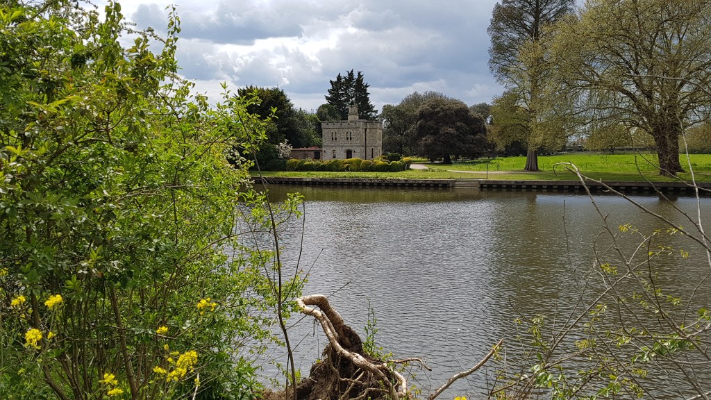
The day I was walking there was some sort of run going on. Further up I came across their refreshment stop. Runners were refueling before setting off again. Along this stretch, the river is on my right and the busy road to my left. Across the road is where the monument to the Magna Carta is (see photo below).
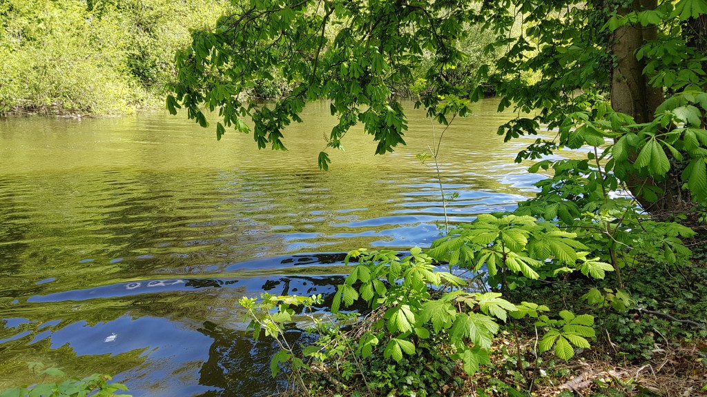
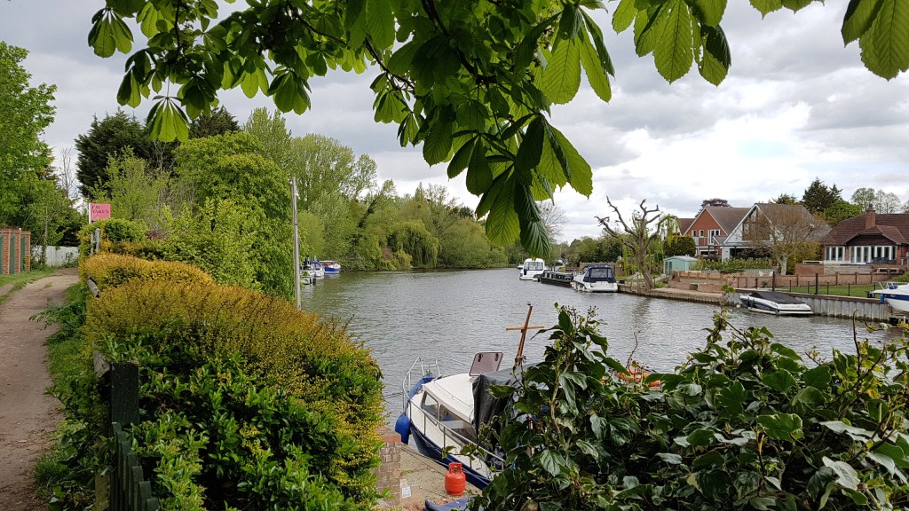
The walk continues into a quieter phase. The countryside wraps around you, the noise of the traffic departs, and all you hear are the sounds of birds and the odd boat puttering by. On the path you mostly meet dog walkers and the odd backpackers.

Walking into Old Windsor one might think that you are near the royal town with the castle. You are some miles away from all that!
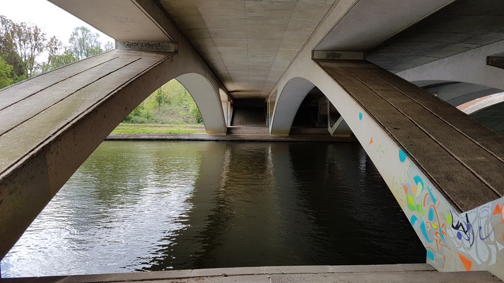
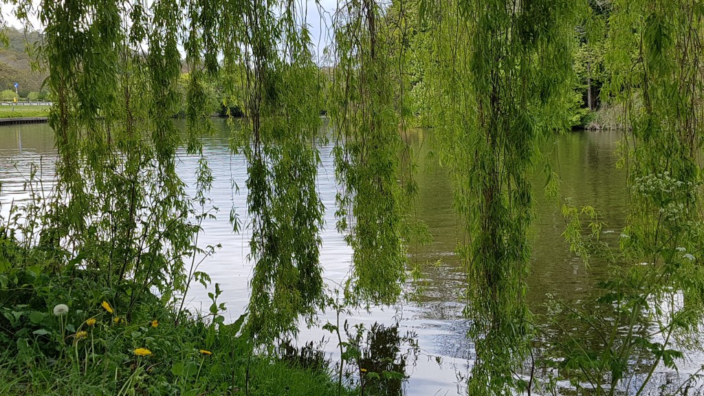
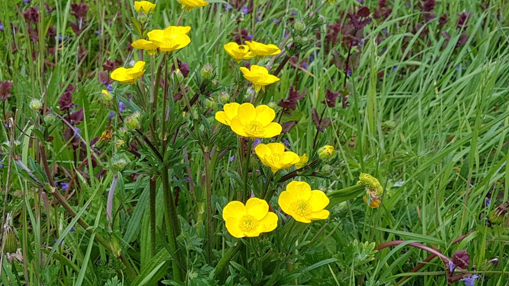
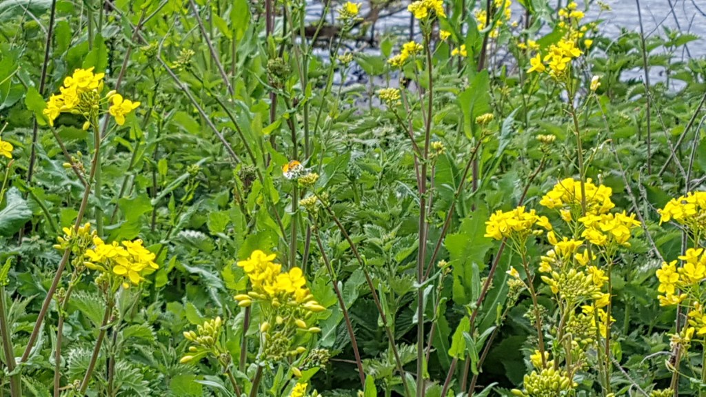
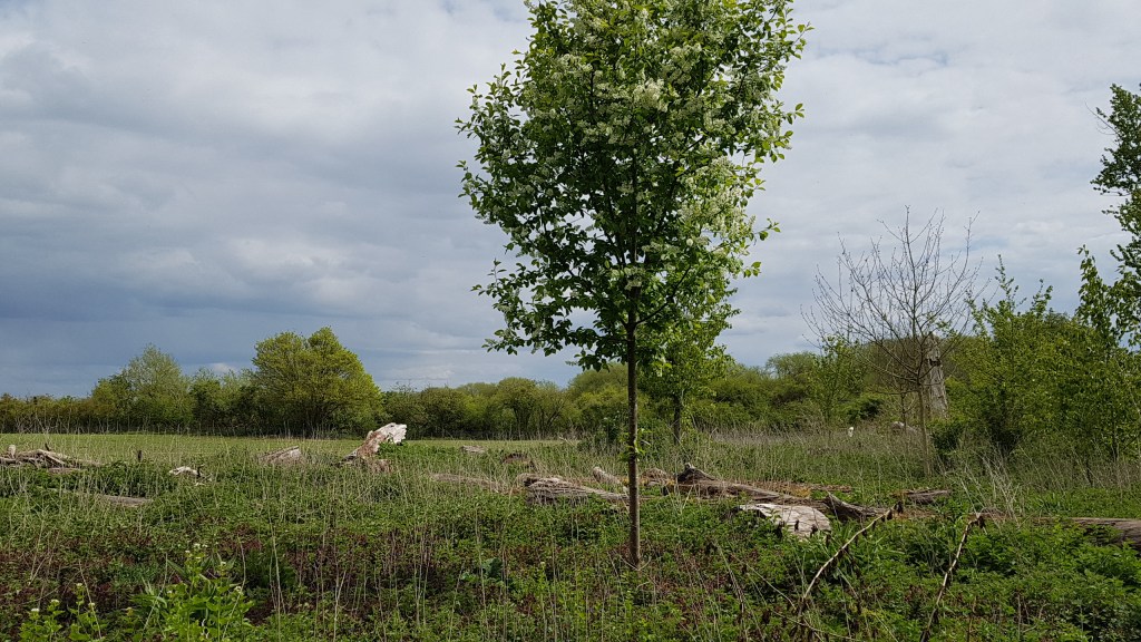
Not too far after Old Winsor Lock I came to Albert Bridge which I had to cross for the last leg of this walk. This was by far the most beautiful part of the walk. Again the countryside hummed around me. Lots of trees and wild plants. Many Orange-tip butterflies flitted around me as well as buzzing bees. The scenery was wild and it made me feel wonderful just to be here.
After a while, the path veered right and ran alongside farmland towards the road, though the path was fenced. I was nearly at my journey’s end and soon came across the sign for Datchet.
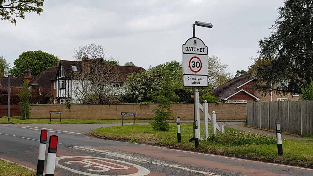
By now I was desperate for a cup of tea and wondered what Datchet would offer. Firstly, I had to find the Thames again, just to mark my stopping point.
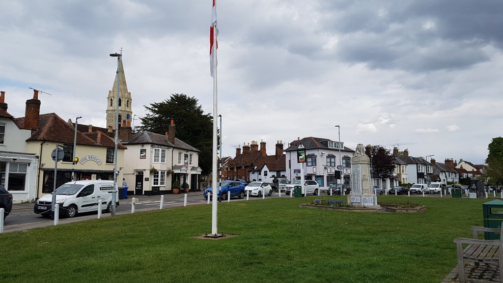
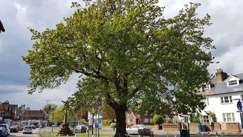
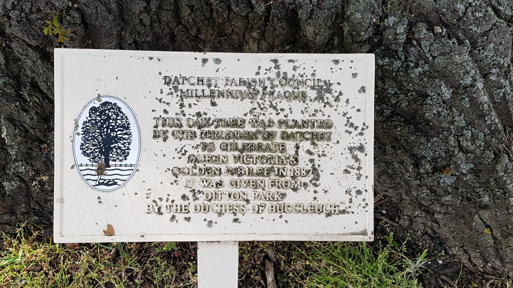
Datchet is a pretty village with a green and a very old tree. It was planted to celebrate Queen Victoria’s Golden Jubilee in 1887. That is where I sat (under the tree) to drink my cup of tea. I did not expect to find a Costa in Datchet, but I was so grateful as there was nothing else open. The train station was close by and it was time now to head home. It had been a wonderful walk.